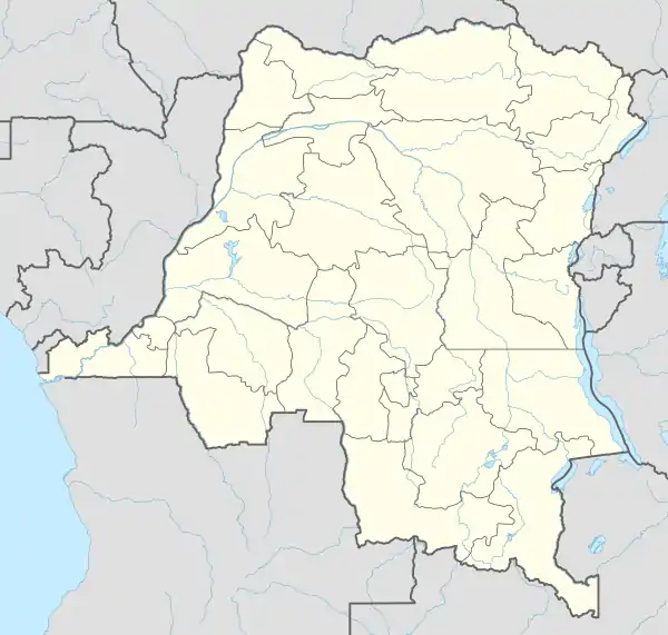
Baraka, Democratic Republic of the Congo
Baraka is a town in the eastern Congolese province of South Kivu, on Lake Tanganyika. This is the main town of the Fizi Territory. Its population in late 2014 was around 120,000 and predominantly Swahili and Ebembe speaking.[1] Other estimates give 90,000. The name of the city means "blessing" in Swahili.
Baraka | |
|---|---|
Town | |
.jpg.webp) Sweet potatoes saleswoman in Baraka Mwambangu | |
 Baraka | |
| Coordinates: 4.104123°S 29.094035°E | |
| Country | Democratic Republic of the Congo |
| Province | South Kivu |
| Territory | Fizi Territory |
| Population (2014) | |
| • Total | 120,000 |
In the 1960s, the city was at the center of cross-border Maoist insurgency started by Laurent-Désiré Kabila. It continued well until the 1980s. The population of the city considerably decreased during the Civil war in the Democratic Republic of the Congo, during which the city was under control of the Rwanda-backed Rally for Congolese Democracy. After the end of the war, people started to return and take jobs, mainly in the trade.[1]
In 2014, the city drew attention as a pilot project for the Missing Maps project.[1]
As of 2015, in Baraka there were no paved roads, no running water, and no electricity.
References
- Michael, Chris (6 November 2014). "Missing Maps: what is Baraka ... and how can you help map it?". The Guardian. Retrieved 26 November 2015.
