Barrow, Lancashire
Barrow is a village and civil parish in the Ribble Valley district in Lancashire, England, situated between Whalley and Clitheroe and bypassed by the A59. It has a primary school, a Chinese takeaway and two parks. The village is well served by local bus routes, giving direct access to many parts of Lancashire. New development has taken place in the area between Whalley Road (the former route of the A59) and the bypass.
| Barrow | |
|---|---|
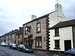 Bay Horse public house, Barrow | |
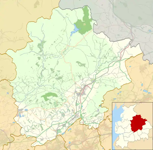 Barrow Shown within Ribble Valley 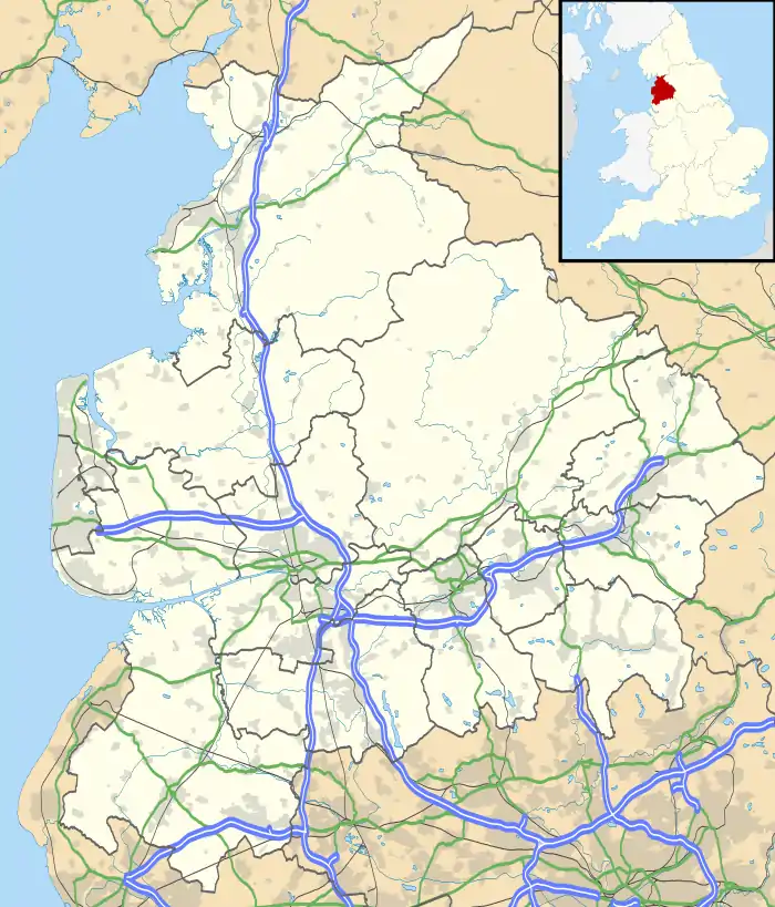 Barrow Location within Lancashire | |
| OS grid reference | SD736384 |
| Civil parish |
|
| District | |
| Shire county | |
| Region | |
| Country | England |
| Sovereign state | United Kingdom |
| Post town | CLITHEROE |
| Postcode district | BB7 |
| Dialling code | 01254 |
| Police | Lancashire |
| Fire | Lancashire |
| Ambulance | North West |
| UK Parliament | |
It is the birthplace of Lancashire and England cricketer Cyril Washbrook, and there are two streets in the village in his name.
According to the United Kingdom Census 2011, 646 people lived in the built-up area of Barrow village.[1]
Barrow Parish Council was created in 2015, previously the village was in Wiswell civil parish.[2]
Along with Wiswell, Pendleton, Mearley and Worston, the parish forms the Wiswell and Pendleton ward of Ribble Valley Borough Council. [3][4]
References
| Wikimedia Commons has media related to Barrow, Lancashire. |
- UK Census (2011). "Local Area Report – Barrow (Ribble Valley) Built-up area (1119880035)". Nomis. Office for National Statistics. Retrieved 24 February 2018.
- "Council divides". Lancashire Telegraph. 1 April 2015. p. 17.
- "Wiswell and Pendleton". MARIO. Lancashire County Council. Retrieved 26 March 2016.
- "Wiswell and Pendleton". Ordnance Survey Linked Data Platform. Ordnance Survey. Retrieved 26 March 2016.