Worston
Worston is a small linear village and civil parish in Lancashire, England. The village is north-west of Pendle Hill, east of Clitheroe, and is in the Ribble Valley district. As it is only a small village, with a population of 76 at the 2001 census,[1] it has no parish council, but instead has a parish meeting. The parish meeting is shared with Mearley, a small parish south of Worston with no villages or hamlets and a population of 25, the second smallest in Lancashire. From the 2011 Census population information for both Mearley and Worston is included within the civil parish of Pendleton.
| Worston | |
|---|---|
 The Calf's Head public house | |
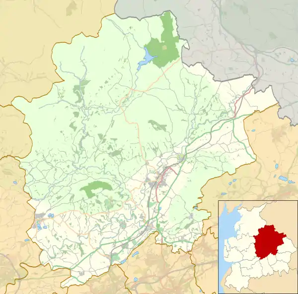
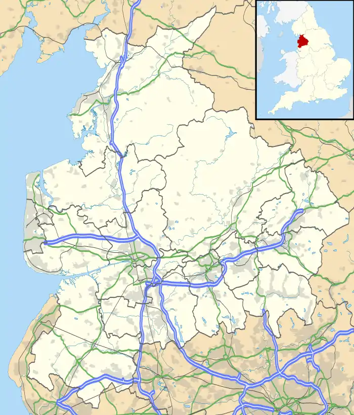
 Worston Shown within Ribble Valley  Worston Location within Lancashire | |
| Population | 76 (2001) |
| OS grid reference | SD768427 |
| Civil parish |
|
| District | |
| Shire county | |
| Region | |
| Country | England |
| Sovereign state | United Kingdom |
| Post town | CLITHEROE |
| Postcode district | BB7 |
| Dialling code | 01200 |
| Police | Lancashire |
| Fire | Lancashire |
| Ambulance | North West |
| UK Parliament | |
The village has a public house "The Calf's Head". The single road that passes through the village continues as a single track road to Downham. Worston is bypassed to the west by the A59 road, which passes through the edge of the parish. Slightly further north is the route of a Roman road, which forms part of the parish boundary.
Worston was once a township in the ancient parish of Whalley. This became a civil parish in 1866, forming part of the Clitheroe Rural District from 1894 till 1974.[2]
Mearley was also once a township in the ancient parish of Whalley. This became a civil parish in 1866, forming part of the Clitheroe Rural District from 1894 till 1974.[3]
Along with Wiswell and Barrow (since 2015), both Mearley and Worston form the Wiswell and Pendleton ward of Ribble Valley Borough Council. [4][5]
References
- "Parish headcount" (PDF). Archived from the original (PDF) on 10 December 2006. Retrieved 13 April 2008.
- "Worston Tn/CP through time". visionofbritain.org.uk. GB Historical GIS / University of Portsmouth. Retrieved 4 January 2016.
- "Mearley Tn/CP through time". visionofbritain.org.uk. GB Historical GIS / University of Portsmouth. Retrieved 4 January 2016.
- "Wiswell and Pendleton". MARIO. Lancashire County Council. Retrieved 26 March 2016.
- "Wiswell and Pendleton". Ordnance Survey Linked Data Platform. Ordnance Survey. Retrieved 26 March 2016.
External links
![]() Media related to Worston at Wikimedia Commons
Media related to Worston at Wikimedia Commons
- Worston and Mearley Parish Meeting
- Worston Conservation Area Appraisal
- Clitheroe Reef Knoll SSSI
- Worston search results at Historic England's Pastscape site
- pp372-73 of The Victoria History of the County of Lancaster Vol 6