Belph
Belph is a hamlet in the District of Bolsover, Derbyshire, England. It is part of the Welbeck Abbey Estate, on the edge of modern-day Sherwood Forest. The village is 1 mile (1.6 km) south-east of Hodthorpe, 1 mile (1.6 km) south-east of Whitwell and 3 miles (4.8 km) south-west of Worksop (where the population is listed). The village is the easternmost settlement in Derbyshire.
| Belph | |
|---|---|
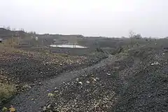
 Whitwell Colliery spoil heap, Belph | |
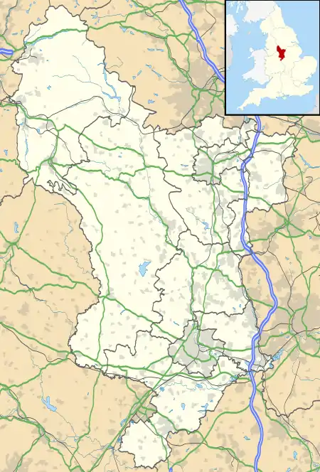
 Belph Location within Derbyshire | |
| OS grid reference | SK553758 |
| District | |
| Shire county | |
| Region | |
| Country | England |
| Sovereign state | United Kingdom |
| Post town | WORKSOP |
| Postcode district | S80 |
| Police | Derbyshire |
| Fire | Derbyshire |
| Ambulance | East Midlands |
The village has two parts, Belph Village and Penny Green. Belph Village consists of about 30 houses either side of a single lane. A number were originally farmhouses; all except Springfield Farm are now private homes.
Penny Green consists of a row of 8 labourers' cottages built in the 1900s on the Whitwell Station Road, and a large stone cottage. The latter was once the Portland Arms (a pub). On the Creswell Crags Road are Brook Cottages, three stone-built 19th-century cottages.
An area of the village known as the "Millash" was located where a stream flows from a natural fault. The ruins of two mills survive, the rest of the hamlet being buried under a spoil tip left by the now defunct Whitwell Colliery.
Etymology
It has long been thought that the name Belph is a corruption of the Norman French/Saxon "Bulgh" meaning forest stream.
