Bian River (Indonesia)
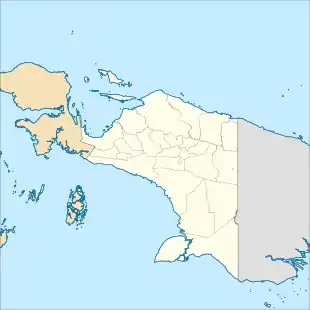
Bian River or Mbian River is a river of western part of Papua, in the province of Papua), Indonesia.[1] Its total length is 580.6 km and width around 70 - 1447.1 m.[2] Some 900 people in its upper course are said to speak the language Bian Marind.[3]
| Bian River Wai Bian, Bian-rivier, Sungai Bian | |
|---|---|
  | |
| Location | |
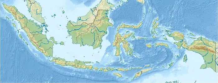
| Country | Indonesia |
| State | Papua |
| Physical characteristics | |
| Source | Butiptiri |
| • location | Southeast of Asike |
| Mouth | Arafura Sea |
• location | District of Okaba, Merauke |
| Length | 580.6 km (360.8 mi) |
| Width | |
| • minimum | 70 m (230 ft) |
| • maximum | 1,447.1 m (4,748 ft) |
Geography
The river flows in the southern area of Papua with predominantly tropical rainforest climate (designated as Af in the Köppen-Geiger climate classification).[4] The annual average temperature in the area is 23 °C. The warmest month is October, when the average temperature is around 25 °C, and the coldest is June, at 20 °C.[5] The average annual rainfall is 2952 mm. The wettest month is May, with an average of 405 mm rainfall, and the driest is August, with 62 mm rainfall.[6]
Ecology
In District of Muting (Merauke Regency), Bian River is a nature reserve by the order of the Ministry of Forestry[7] as the habitat of various protected flora and fauna, among others: Archerfish and Asian arowana.[8]
References
- Wai Bian - Geonames.org.
- Tabel SD-11:Inventarisasi sungai. Provinsi : Papua. Tahun Data : 2010
- "www.papuaweb.org" (PDF). Archived from the original (PDF) on 2008-07-23. Retrieved 2010-06-23.
- Peel, M C; Finlayson, B L; McMahon, T A (2007). "Updated world map of the Köppen-Geiger climate classification". Hydrology and Earth System Sciences. 11 (5): 1633–1644. Bibcode:2007HESS...11.1633P. doi:10.5194/hess-11-1633-2007.
- "NASA Earth Observations Data Set Index". NASA. 30 January 2016.
- "NASA Earth Observations: Rainfall (1 month - TRMM)". NASA/Tropical Rainfall Monitoring Mission. 30 January 2016.
- Cagar Alam Sungai Bian
- Eksotika Sungai Bian Merauke