Bilin, Mon State
Bilin (Burmese: ဘီးလင်းမြို့; Mon: ၜဳက္လေၚ်) is a town in the Mon State of south-east Myanmar. It is the seat of Bilin Township. The Yangon-Mawlamyine Highway passes through Belin. The nearby Belin River flows into the Gulf of Martaban. The majority of residents are Bamar, and there are also members of the Kayin and Pa-O ethnic groups. The majority of people are Buddhist. Belin Township is home to the famous Kyaikhtisaung Pagoda located on a laterite stone hillock near Zoke Thoke village. The hillock itself was formed by laying laterite stones in squares of diminishing size on top of each other.[1]
Bilin
ဘီးလင်းမြို့ | |
|---|---|
Town | |
 | |
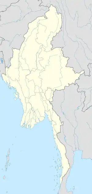 Bilin Location in Burma | |
| Coordinates: 17°14′N 97°15′E | |
| Country | |
| Division | |
| Population (2005) | |
| • Religions | Buddhism |
| Time zone | UTC+6.30 (MST) |
References
- "Archived copy". Archived from the original on 2015-04-13. Retrieved 2013-06-25.CS1 maint: archived copy as title (link)
External links
Capital: Mawlamyine | ||
| Mawlamyine District |  | |
| Thaton District | ||
| Cities, towns, and villages |
| |
This article is issued from Wikipedia. The text is licensed under Creative Commons - Attribution - Sharealike. Additional terms may apply for the media files.