Black River (Tasmania)
The Black River is a perennial river for most of its length, located in the north-western region of Tasmania, Australia.[2]
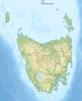
| Black River (Tasmania) | |
|---|---|
| Location | |
| Country | Australia |
| State | Tasmania |
| Region | North-west |
| Physical characteristics | |
| Source | below Mount Dipwood |
| • location | in the Dip Range |
| • coordinates | 41°02′17″S 145°27′24″E |
| • elevation | 332 m (1,089 ft) |
| Mouth | Bass Strait |
• location | Wiltshire / Black River midpoint |
• coordinates | 40°50′16″S 145°18′49″E |
• elevation | 0 m (0 ft) |
| Length | 55.8 km (34.7 mi) |
| [1] | |
Location and features
The river rises below Mount Dipwood (over 530 m (1,740 ft))[note 1] in the Dip Range (over 620 m (2,030 ft)),[note 2] and flows generally north into Bass Strait between the localities of Wiltshire and Black River.[1] The river descends 332 metres (1,089 ft) over its 55.8-kilometre (34.7 mi) course.[3]
References
- "Placenames Tasmania - Black River". Placenames Tasmania. Retrieved 18 December 2018.
Search, enter 1603Y, Search, select row, show Details
- Google (18 December 2018). "Black River, Tasmania" (Map). Google Maps. Google. Retrieved 18 December 2018.
- "Map of Black River, TAS". Bonzle Digital Atlas of Australia. 2018. Retrieved 18 December 2018.
Notes
- Placename Nomen # for Mount Dipwood = 2129S
- Placename Nomen # for Dip Range = 2126L
River systems and rivers of Tasmania, Australia | |||||
|---|---|---|---|---|---|
| |||||
| |||||
| |||||
|
This article is issued from Wikipedia. The text is licensed under Creative Commons - Attribution - Sharealike. Additional terms may apply for the media files.