Isis River (Tasmania)
The Isis River is a minor perennial river located in the Somerset Land District, in the northern region of Tasmania, Australia.[2]
| Isis | |
|---|---|
| Location | |
| Country | Australia |
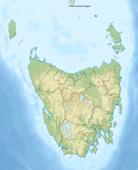
| State | Tasmania |
| Region | Midlands (Tasmania) |
| Physical characteristics | |
| Source | Mount Franklin |
| • location | Great Western Tiers |
| • elevation | 833 m (2,733 ft) |
| Mouth | Macquarie River |
• location | north west of Campbell Town |
• coordinates | 41°49′4″S 147°14′59″E |
• elevation | 171 m (561 ft) |
| Length | 38 km (24 mi) |
| Basin features | |
| River system | South Esk River system |
| [1] | |
Location and features
The river rises below It starts below Mount Franklin in the Great Western Tiers west of Ross and flows generally north by east before reaching its confluence with the Macquarie River northwest of Campbell Town. The river flows through the settlements of Lincoln and Auburn . The river descends 682 metres (2,238 ft) over its 38-kilometre (24 mi) course.[1]
See also
References
- "Map of Isis River, TAS". Bonzle Digital Atlas of Australia. 2015. Retrieved 18 June 2016.
- West, Rev. John. "History of Tasmania". Project Gutenberg.
River systems and rivers of Tasmania, Australia | |||||
|---|---|---|---|---|---|
| |||||
| |||||
| |||||
|
This article is issued from Wikipedia. The text is licensed under Creative Commons - Attribution - Sharealike. Additional terms may apply for the media files.