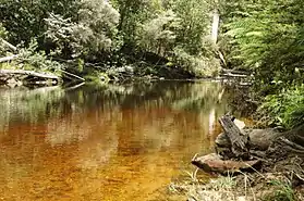
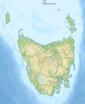
Emu River (Tasmania)
The Emu River is a perennial river for most of its length, located in the north-western region of Tasmania, Australia.[2] It was named by Henry Hellyer, an early explorer who saw emu tracks in the vicinity.[1]
| Emu River (Tasmania) | |
|---|---|
 | |
| Location | |
| Country | Australia |
| State | Tasmania |
| Region | North-west |
| Physical characteristics | |
| Source | below Companion Hill |
| • location | near Saint Valentines Peak |
| • coordinates | 41°21′26″S 145°43′34″E |
| • elevation | 548 m (1,798 ft) |
| Mouth | Bass Strait |
• location | Wivenhoe / South Burnie midpoint |
• coordinates | 41°03′57″S 145°55′22″E |
• elevation | 0 m (0 ft) |
| Length | 52.2 km (32.4 mi) |
| [1] | |
Location and features
The river rises below Companion Hill (853 m (2,799 ft))[note 1] near Saint Valentines Peak (1,107 m (3,632 ft)),[note 2] passes through Companion Reservoir,[note 3] and flows generally north into Emu Bay at Wivenhoe.[1] The river descends 548 metres (1,798 ft) over its 52.2-kilometre (32.4 mi) course.[3]
References
- "Placenames Tasmania - Emu River". Placenames Tasmania. Retrieved 18 December 2018.
Search, enter 1664E, Search, select row, show Details
- Google (18 December 2018). "Emu River, Tasmania" (Map). Google Maps. Google. Retrieved 18 December 2018.
- "Map of Emu River, TAS". Bonzle Digital Atlas of Australia. 2018. Retrieved 18 December 2018.
Notes
- Placename Nomen # for Companion Hill = 1837Q
- Placename Nomen # for Saint Valentines Peak = 19378F
- Placename Nomen # for Companion Reservoir = 13887Q
River systems and rivers of Tasmania, Australia | |||||
|---|---|---|---|---|---|
| |||||
| |||||
| |||||
|
This article is issued from Wikipedia. The text is licensed under Creative Commons - Attribution - Sharealike. Additional terms may apply for the media files.