Bluewater Acres, New Mexico
Bluewater Acres is a census-designated place (CDP) in Cibola County, New Mexico, United States. The population was 206 at the 2010 census.[1]
Bluewater Acres, New Mexico | |
|---|---|
 Bluewater Acres | |
| Coordinates: 35°16′27″N 108°7′31″W | |
| Country | United States |
| State | New Mexico |
| County | Cibola |
| Area | |
| • Total | 3.1 sq mi (8.1 km2) |
| • Land | 3.1 sq mi (8.1 km2) |
| • Water | 0 sq mi (0 km2) |
| Elevation | 7,475 ft (2,278 m) |
| Population (2010) | |
| • Total | 206 |
| • Density | 66/sq mi (25.4/km2) |
| Time zone | UTC-7 (Mountain (MST)) |
| • Summer (DST) | UTC-6 (MDT) |
| Area code(s) | 505 |
| FIPS code | 35-08185 |
| GNIS feature ID | 2584058 |
Geography
Bluewater Acres is located in northwestern Cibola County at 35°16′27″N 108°7′31″W, near the southern tip of Bluewater Lake, a reservoir on Bluewater Creek north of Salitre Mesa. New Mexico State Road 612 (Bluewater Road) leads north from the community 12 miles (19 km) to Thoreau and Interstate 40. A Forest Service road leads south from Bluewater Acres through Cibola National Forest 25 miles (40 km) to NM 53 near the Continental Divide.
According to the United States Census Bureau, the Bluewater Acres CDP has a total area of 3.1 square miles (8.1 km2), all land.[1]
References
- "Geographic Identifiers: 2010 Demographic Profile Data (G001): Bluewater Acres CDP, New Mexico". U.S. Census Bureau, American Factfinder. Archived from the original on February 12, 2020. Retrieved October 20, 2014.
Municipalities and communities of Cibola County, New Mexico, United States | ||
|---|---|---|
| City | 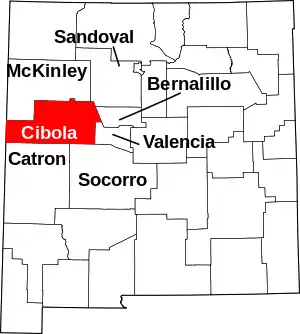 Map of New Mexico highlighting Cibola County | |
| Village | ||
| CDPs | ||
| Unincorporated communities | ||
| Indian reservations | ||
| Footnotes | ‡This populated place also has portions in an adjacent county or counties | |
| ||
This article is issued from Wikipedia. The text is licensed under Creative Commons - Attribution - Sharealike. Additional terms may apply for the media files.
