McCartys Village, New Mexico
McCartys Village is a census-designated place (CDP) in Cibola County, New Mexico, consisting of the unincorporated community known as McCartys. The population was 48 at the time of the 2010 census.[1] It is part of the Acoma Pueblo.
McCartys Village, New Mexico | |
|---|---|
 McCartys Village | |
| Coordinates: 35°3′54″N 107°40′48″W | |
| Country | United States |
| State | New Mexico |
| County | Cibola |
| Area | |
| • Total | 0.20 sq mi (0.52 km2) |
| • Land | 0.20 sq mi (0.52 km2) |
| • Water | 0.0 sq mi (0.0 km2) |
| Elevation | 6,170 ft (1,880 m) |
| Population (2010) | |
| • Total | 48 |
| • Density | 241/sq mi (92.9/km2) |
| Time zone | UTC-7 (Mountain (MST)) |
| • Summer (DST) | UTC-6 (MDT) |
| Area code(s) | 505 |
| FIPS code | 35-45690 |
| GNIS feature ID | 2585648 |
Geography
McCartys is located in northern Cibola County at 35°3′54″N 107°40′48″W in the valley of the Rio San Jose, an east-flowing tributary of the Rio Puerco. Indian Service Route 30 passes through the center of the community. Interstate 40 forms the northwestern edge of the CDP, with the nearest access from Exit 96, 1.5 miles (2.4 km) to the northeast. Old U.S. Route 66 runs parallel to I-40 along the edge of McCartys. Grants, the Cibola County seat, is 12 miles (19 km) to the northwest.
According to the United States Census Bureau, the CDP has a total area of 0.20 square miles (0.52 km2), all land.[1]
Education
All public schools in the county are operated by Grants/Cibola County Schools.
References
- "Geographic Identifiers: 2010 Demographic Profile Data (G001): McCartys Village CDP, New Mexico". U.S. Census Bureau, American Factfinder. Archived from the original on February 12, 2020. Retrieved October 20, 2014.
Municipalities and communities of Cibola County, New Mexico, United States | ||
|---|---|---|
| City | 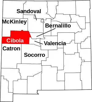 Map of New Mexico highlighting Cibola County | |
| Village | ||
| CDPs | ||
| Unincorporated communities | ||
| Indian reservations | ||
| Footnotes | ‡This populated place also has portions in an adjacent county or counties | |
| ||
| Authority control |
|---|