Burrum River
The Burrum River is a river located in the Wide Bay-Burnett region of Queensland, Australia.
| Burrum | |
|---|---|
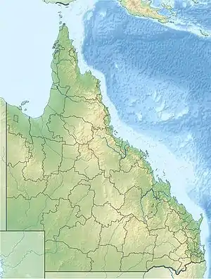
 Location of Burrum River mouth in Queensland | |
| Etymology | Kabi: rocks interrupting river flow[1] |
| Location | |
| Country | Australia |
| State | Queensland |
| Region | Wide Bay-Burnett |
| Physical characteristics | |
| Source | Lake Lenthall |
| • location | Lake Lenthall |
| • elevation | 24 m (79 ft) |
| Mouth | Hervey Bay, Coral Sea |
• location | Burrum Heads |
• coordinates | 25°10′46″S 152°37′01″E |
• elevation | 0 m (0 ft) |
| Length | 31 km (19 mi) |
| Basin size | 3,371 km2 (1,302 sq mi) |
| Basin features | |
| National park | Burrum Coast National Park |
| [2] | |
Course and features
The river rises within Lake Lenthall, impounded by Lenthalls Dam at the confluence of several smaller watercourses including Harwood Creek, Woolmer Creek and Duckinwilla Creek, near the town of Burrum. The river flows in northerly direction and is crossed by the Bruce Highway near Howard. The river flows past Pacific Haven before the Isis River joins with the Burrum River at the southern edge of the Burrum Coast National Park. Together, the rivers together with the Gregory River discharge into the Burrum Fish Habitat Area in Hervey Bay that flows out to the Coral Sea, at Burrum Heads. The river descends 27 metres (89 ft) over its 31-kilometre (19 mi) course.[2] An estuary is formed at the mouth of the river. The Isis and Gregory Rivers also discharge into the 12 kilometres (7 mi) long and between 2 kilometres (1 mi) and 500 metres (1,640 ft) wide estuary. The area includes intensive inter-tidal flats, shallow sand banks, a meandering main channel with small patched of fringing mangroves.[3]
The catchment area of the river occupies an 3,371 square kilometres (1,302 sq mi) of which an area of 108 square kilometres (42 sq mi) is composed of riverine wetlands.[4] The catchment area is generally low and flat and is situated between the Burnett and Mary River catchments.[3]
The river has a mean annual discharge of 153 gigalitres (200,116,445 cu yd).[3]
Etymology
The river draws its name from the indigenous Australian Kabi language for a word meaning rocks interrupting river flow.[1]
References
- "Burrum River (entry 5451)". Queensland Place Names. Queensland Government. Retrieved 26 June 2015.
- "Map of Burrum River, QLD". Bonzle Digital Atlas of Australia. Archived from the original on 23 September 2015. Retrieved 23 June 2015.
- Walker, Michael (June 2008). "Burrum Catchment - Water Quality Improvement Plan" (PDF). Burnett Mary Regional Group. Archived from the original (PDF) on 22 March 2015. Retrieved 24 June 2015.
- "Burrum river drainage basin". WetlandInfo. Queensland Government. Archived from the original on 19 June 2015. Retrieved 23 June 2015.