Lockhart River (Queensland)
The Lockhart River is a river in Queensland, Australia.
| Lockhart | |
|---|---|
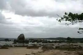 Quintell Beach, Lockhart River | |
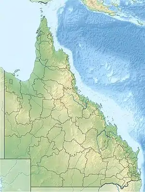 Location of Lockhart river mouth in Queensland | |
| Etymology | Hugh Lockhart |
| Location | |
| Country | Australia |
| Territory | Queensland |
| Region | Far North Queensland |
| Physical characteristics | |
| Source | Chester Peak |
| • location | Chester Range, Cape York Peninsula, Australia |
| • elevation | 46 m (151 ft) |
| Mouth | Lloyd Bay |
• location | Coral Sea, Australia |
• coordinates | 12°56′59″S 143°23′37″E |
• elevation | 0 m (0 ft) |
| Length | 36 km (22 mi) |
| Basin size | 2,883 km2 (1,113 sq mi) |
| [1] | |
The headwaters of the river rise under Chester Peak in the Chester Range, part of the Great Dividing Range, and flows northwards. It continues past High Range and Heming Range eventually discharging into Lloyd Bay in the Coral Sea.
The river has a catchment area of 2,883 square kilometres (1,113 sq mi) of which an area of 134 square kilometres (52 sq mi) is composed of estuarine wetlands.[2]
Named by the explorer Robert Logan Jack in 1880 after his friend Hugh Lockhart.[3]
References
- "Map of Lockhart River". Bonzle Digital Atlas of Australia. Retrieved 27 July 2015.
- "Lockhart River drainage basin". WetlandInfo. Queensland Government. Retrieved 27 July 2015.
- "Lockhart River (entry 19857)". Queensland Place Names. Queensland Government. Retrieved 27 July 2015.
Rivers of Queensland | |||||||||||||||
|---|---|---|---|---|---|---|---|---|---|---|---|---|---|---|---|
| |||||||||||||||
| |||||||||||||||
| |||||||||||||||
| |||||||||||||||
| |||||||||||||||
| |||||||||||||||
This article is issued from Wikipedia. The text is licensed under Creative Commons - Attribution - Sharealike. Additional terms may apply for the media files.