Củ Chi District
Củ Chi is a rural district of Ho Chi Minh City, Vietnam.
Củ Chi District
Huyện Củ Chi | |
|---|---|

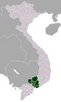
Position in metropolitan area of HCMC | |
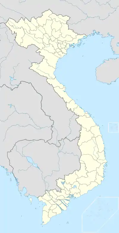
 Củ Chi District Location in Vietnam | |
| Coordinates: 10°02′17″N 106°30′20″E | |
| Country | |
| Centrally governed city | Ho Chi Minh City |
| Seat | Quarter 7, Củ Chi Town |
| Divisions | 1 township, 20 communes |
| Area | |
| • Total | 435 km2 (168 sq mi) |
| Population (2018) | |
| • Total | 403,038 |
| • Density | 930/km2 (2,400/sq mi) |
| Demographics | |
| • Main ethnic groups | predominantly Kinh |
| Time zone | UTC+07 (ICT) |
| Website | cuchi.hochiminhcity.gov.vn |
Etymology
The word Củ Chi is spelled by Vietnamese language of Tonle Sre (ទន្លេស្រែ) or Sre (ស្រែ) in old Mon-Khmer language what means river of rice-field or rice field.
History
During the Vietnam War from 1967, Củ Chi Base Camp served as base for the 269th Aviation Battalion of the United States Army.
It is famous for its Củ Chi tunnels, which were constructed during the Vietnam War, and served as headquarters for the Viet Cong. Today, the district has many industrial zones.
As of 2010, the district had a population of 355,822. It covers an area of 435 km².[1] The district capital lies at Củ Chi Town.
Administration
The district consists of 1 town, Củ Chi Town (also the district capital), and 20 communes:
- Communes:
|
|
See also
References
- "HCMC's Population and population density in 2010 by district". HCMC Office of Statistics. Archived from the original on July 5, 2017. Retrieved Feb 4, 2014.
This article is issued from Wikipedia. The text is licensed under Creative Commons - Attribution - Sharealike. Additional terms may apply for the media files.

