Caldbergh
Caldbergh (Caldeber in the Domesday Book)[1] is a hamlet within the Yorkshire Dales, North Yorkshire, England.[2][3] It lies about four miles south of Leyburn. East Scrafton and Coverham are nearby.
| Caldbergh | |
|---|---|
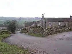 Looking through Caldbergh down into Coverdale | |
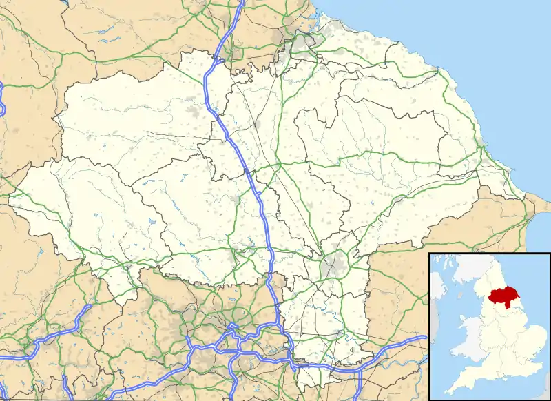 Caldbergh Location within North Yorkshire | |
| Civil parish | |
| District | |
| Shire county | |
| Region | |
| Country | England |
| Sovereign state | United Kingdom |
| Police | North Yorkshire |
| Fire | North Yorkshire |
| Ambulance | Yorkshire |
References
- Professor J.J.N.Palmer. "Open Doomsday: Caldbergh". www.opendomesday.org. Anna Powell-Smith. Archived from the original on 11 May 2017. Retrieved 31 January 2016.
- Ordnance Survey: Landranger map sheet 99 Northallerton & Ripon (Pateley Bridge & Leyburn) (Map). Ordnance Survey. 2013. ISBN 9780319231593.
- "Ordnance Survey: 1:50,000 Scale Gazetteer" (csv (download)). www.ordnancesurvey.co.uk. Ordnance Survey. 1 January 2016. Retrieved 30 January 2016.
This article is issued from Wikipedia. The text is licensed under Creative Commons - Attribution - Sharealike. Additional terms may apply for the media files.
