Cebollatí
Cebollatí is a village in the Rocha Department of eastern Uruguay. It is the northernmost settlement of the department.
Cebollatí | |
|---|---|
Village | |
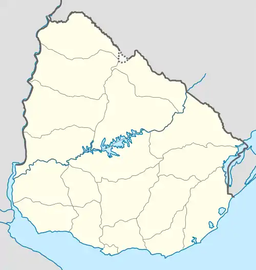 Cebollatí Location in Uruguay | |
| Coordinates: 33°16′0″S 53°48′0″W | |
| Country | |
| Department | Rocha Department |
| Population (2011) | |
| • Total | 1,609 |
| Time zone | UTC -3 |
| Postal code | 27302 |
| Dial plan | +598 4459 (+4 digits) |
| Climate | Cfa |
Location and geography
The village is located on Route 15 64 kilometres (40 mi) northeast of Lascano and on the south bank of Cebollatí River, about 14 kilometres (8.7 mi) west of Lake Merín in the middle-line of which is the Brazilian border. A secondary street of 7.5 kilometres (4.7 mi) joins it via a small cable ferry with General Enrique Martínez of Treinta y Tres Department.
History
On 28 October 1919, it was declared a "Pueblo" (village) by decree Ley Nº 7.019.[1]
Population
In 2011 Cebollatí had a population of 1,609.[2]
| Year | Population |
|---|---|
| 1908 | 3,049 |
| 1963 | 1,273 |
| 1975 | 1,459 |
| 1985 | 1,115 |
| 1996 | 1,490 |
| 2004 | 1,490 |
| 2011 | 1,609 |
Source: Instituto Nacional de Estadística de Uruguay[1]
References
- "Statistics of urban localities (1908–2004)" (PDF). INE. 2012. Archived from the original (PDF) on 13 November 2009. Retrieved 5 September 2012.
- "Censos 2011 Cuadros Rocha". INE. 2012. Archived from the original on 2012-11-23. Retrieved 25 August 2012.
External links
Capital: Rocha | ||
| Towns and villages | 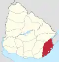 | |
| Sights |
| |
This article is issued from Wikipedia. The text is licensed under Creative Commons - Attribution - Sharealike. Additional terms may apply for the media files.