La Aguada y Costa Azul
La Aguada y Costa Azul is a village in the Rocha Department of southeastern Uruguay.
La Aguada y Costa Azul | |
|---|---|
Village | |
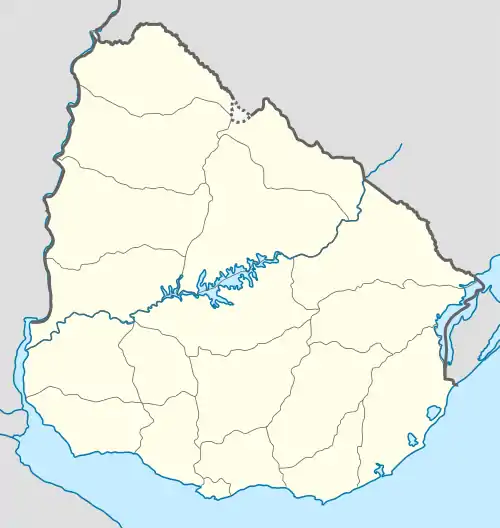 La Aguada y Costa Azul Location in Uruguay | |
| Coordinates: 34°38′0″S 54°9′0″W | |
| Country | |
| Department | Rocha Department |
| Population (2011) | |
| • Total | 1,090 |
| Time zone | UTC -3 |
| Postal code | 27002 |
| Dial plan | +598 4479 (+4 digits) |
| Climate | Cfb |
Location
The village is located on the Atlantic coast and shares borders with La Paloma to the south (the border being the railroad track Rocha - La Paloma) and Arachania to the north.
History
Its status was elevated to "Pueblo" (village) on 21 December 1995 by the Act of Ley Nº 12.253.[1]
Population
In 2011 La Aguada y Costa Azul had a population of 1,090.[2]
| Year | Population |
|---|---|
| 1963 | 210 |
| 1975 | 454 |
| 1985 | 967 |
| 1996 | 1,125 |
| 2004 | 1,103 |
| 2011 | 1,090 |
Source: Instituto Nacional de Estadística de Uruguay[3]
References
- "LEY N° 12.253". República Oriental del Uruguay, Poder Legislativo. 1995. Archived from the original on 23 May 2013. Retrieved 1 July 2011.
- "Censos 2011 Cuadros Rocha". INE. 2012. Archived from the original on 10 October 2012. Retrieved 25 August 2012.
- "Statistics of urban localities (1963–2004)". INE. 2012. Archived from the original (PDF) on 23 March 2015. Retrieved 5 September 2012.
External links
| Resorts and Landforms |
|
|---|---|
| |
Capital: Rocha | ||
| Towns and villages | 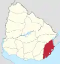 | |
| Sights |
| |
This article is issued from Wikipedia. The text is licensed under Creative Commons - Attribution - Sharealike. Additional terms may apply for the media files.