Chachanda
Chachanda is a census town in Samserganj CD Block in Jangipur subdivision of Murshidabad district in the state of West Bengal, India.
Chachanda | |
|---|---|
Census Town | |
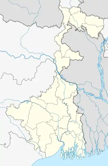
 Chachanda Location in West Bengal, India  Chachanda Chachanda (India) | |
| Coordinates: 24.64°N 88.00°E | |
| Country | |
| State | West Bengal |
| District | Murshidabad |
| Population (2011) | |
| • Total | 14,244 |
| Languages | |
| • Official | Bengali, English, Hindi |
| Time zone | UTC+5:30 (IST) |
| PIN | 742224 |
| Vehicle registration | WB |
| Lok Sabha constituency | Maldaha Dakshin |
| Vidhan Sabha constituency | Samserganj |
| Website | wb |
Geography
Chachanda is located at 24.64°N 88.00°E.[1]
Demographics
As per the 2011 Census of India, Chachanda had a total population of 14,244, of which 7,194 (51%) were males and 7.050 (49%) were females. Population below 6 years was 2,897. The total number of literates in Chachanda was 6,556 (57.78% of the population over 6 years).[2]
As of 2001 India census,[3] Chachanda had a population of 10,300. Males constitute 51% of the population and females 49%. Chachanda has an average literacy rate of 35%, lower than the national average of 59.5%; with male literacy of 44% and female literacy of 26%. 23% of the population is under 6 years of age.
Education
There are three educational institutions in Chachanda, one High School (C.B.J.High School), one Primary School and one Primary Madrasa. The high school was initially for classes V to X, but now it's been upgraded to class XII (Arts & Science). It not only serves the educational need of Chachanda but many other adjoining areas also.
Transportation
Chachanda is well connected by road and rail. National Highway 12 34 and Azimganj-Barharwa railway line pass by Chachanda. It is 75 km away from district town Berhampore and 275 km from Kolkata. Nearest market is Basudevpur. Basudevpur is a best market in this division for vegetables and fruit. Nearest Railway station is Basudevpur Halt.
References
- "Yahoo maps location of Chachanda". Yahoo maps. Retrieved 6 December 2008.
- "C.D. Block Wise Primary Census Abstract Data(PCA)". West Bengal – District-wise CD Blocks. Registrar General and Census Commissioner, India. Retrieved 27 August 2017.
- "Census of India 2001: Data from the 2001 Census, including cities, villages and towns (Provisional)". Census Commission of India. Archived from the original on 16 June 2004. Retrieved 1 November 2008.
