Nurpur, Murshidabad
Nurpur is a village and gram panchayat in Murshidabad district in the state of West Bengal, India. Nurpur Gram panchayats in Suti I community development block.
Nurpur | |
|---|---|
Village | |
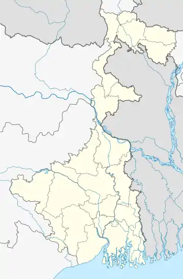
 Nurpur Location in West Bengal, India | |
| Coordinates: 24.294°N 88.186°E | |
| Country | |
| State | West Bengal |
| District | Murshidabad |
| Languages | |
| • Official | Bengali,Hindi, English |
| Time zone | UTC+5:30 (IST) |
| PIN | 742223 |
| ISO 3166 code | IN-WB |
| Lok Sabha constituency | Jangipur |
| Vidhan Sabha constituency | Raghunathganj |
| Website | murshidabad |
Geography
Nurpur is located at 24.294°N 88.186°E. Nurpur area of Suti 1 block is near Bangladesh International Border and Padma river. Indian Border Guard BSF [1] patrols the Nurpur area 24x7, it is a protected area.
Transport
Nurpur is connected by bus service towards Azimganj town and the nearest railway stations are Mahipal railway station and Mahipal Road railway station in Farakka - Azimganj line.
Educational Institutes
Schools
- Gotha A. Rahman High School.
This article is issued from Wikipedia. The text is licensed under Creative Commons - Attribution - Sharealike. Additional terms may apply for the media files.