Ahiran
Ahiran is a village in Suti I CD Block in Jangipur subdivision of the Murshidabad district of the state of West Bengal, India. It serves as the Headquarters of the Suti I administrative division.
Ahiran
Ahiron | |
|---|---|
Village/City | |
 | |
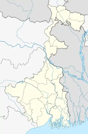
 Ahiran Location in West Bengal, India  Ahiran Ahiran (India) | |
| Coordinates: 24.52°N 88.02°E | |
| Country | |
| State | West Bengal |
| District | Murshidabad |
| Area | |
| • Total | 91.75 km2 (35.42 sq mi) |
| Population (2011) | |
| • Total | 17,079 |
| • Density | 190/km2 (480/sq mi) |
| Time zone | UTC+5:30 (IST) |
| PIN | 742223 |
| ISO 3166 code | IN-WB |
| Lok Sabha constituency | Jangipur |
| Vidhan Sabha constituency | Jangipur |
| Website | murshidabad |
Geography
Ahiran is located at 24°31′N 88°01′E . The village situated in the bank of Bhagirathi River.
Demographics
The population of Ahiran village, as per the 2011 Census by the Government of India, was 17,079 with 8,691 males and 8,388 females.[1]
Historical significance
This is a historical village of Murshidabad district. The word Ahiran means "an area of milkmen", where "Ahir" means "milkmen".[3] The gold coins belonging to Gupta period were found at Ahiran during road construction on National Highway 34 (India).[4]
Offices
Some of the government offices located in this area are: Suti I (community development block)
- B.D.O Office
- Sub Inspector Of Schools
- [Integrated Child Development Services] (ICDS)
- Suti I Block Youth Office
- B.L and L.R.O,[5]
- Ahiran Hospital, Ahiran
- Post Office,
- Bangiya Gramin Vikash Bank,
- Bank Of India,[6]
- Office of the Assistant Director of Agriculture
- Ahrion electric bill collection office and mini electronic supply centers were established at Suti 1 block (WBSEDCL - AHIRAN CCC).[7]
Education
The few famous schools situated in the village include the Ahiran Hemangini Vidyaytan School (H.S.),Ahiran Schinananda Girl High School and Bangabari High School.
- Ahiran Model School, Suti - I block.
- Aligarh Muslim University Center Murshidabad .
- CWSN Resource Room, a school for child with special needs also here.
Transport
- Ahiran is connected through NH 34 and Ahiran railway station is situated in Barharwa–Azimganj–Katwa loop line of Indian Railway.[8]
- Ahiran Halt Bus Stop and
- Ahiran Haat Bus Stop.
Health care
- Ahiran Hospital is the Primary Health Center, the B.M.O.H. Ahiran BPHC[9] Suti-1, Murshidabad, near Jangipur Sub-Divisional Hospital.
- Veterinary Dispensaries/ Hospital -BLDO Suti-1 Block Animal[10] Primary Health center at Ahiran.
References
- "Provisional Population Totals, West Bengal". Census of India 2011. Census Commission of India. Retrieved 20 January 2011.
- "District Census Handbook: Murshidabad, Series 20 Part XII A" (PDF). Map of Murshidabad with CD Block HQs and Police Stations (on the fourth page). Directorate of Census Operations, West Bengal, 2011. Retrieved 27 August 2017.
- Sivaprasad Das Gupta (1982). Essays in Thematic Cartography: Papers Presented at the Third National Cartographic Conference, Calcutta, During 19-21 October 1981, by the Members of National Atlas and Thematic Mapping Organisation. The Organisation. p. 166.
- "Gold coins of Gupta era found in West Bengal". THE HINDU TODAY'S PAPER. Retrieved 2 May 2013.
- "Land & Land Reforms Department". Government of West Bengal. Archived from the original on 16 June 2015. Retrieved 17 February 2011.
- "Details of BANK OF INDIA, AHIRAN". All Bank Branches in India. Retrieved 17 February 2014.
- "Details of wbsedcl, AHIRON". Mini Power supply. Retrieved 11 June 2018.
- "Ahiran Railway Station". AHN/Ahiran (1 PFs) Railway Station Map - India Rail Info. Retrieved 12 June 2015.
- "Name of the Institution (Hospital)" (PDF). Government of West Bengal Health & Family Welfare Department. Retrieved 17 February 2011.
- "Block Animal Health Centre". Department of Animal Resources Development, Govt. of WB. Retrieved 17 February 2012.
