Champhung
Champhung is a village located extreme west in Ukhrul district, Manipur. The village is connected by an inter village road and is about 43 kilometers from the district headquarters. Champhung is flanked by Tora in the north, Somdal and Phalee in the east, Leisan in the south-west and Senapati district in the west.
Champhung
Ramrim | |
|---|---|
village | |
| Nickname(s): Changta | |
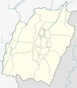 Champhung Location in Manipur, India  Champhung Champhung (India) | |
| Coordinates: 25°09′24″N 94°12′17″E | |
| Country | |
| State | Manipur |
| District | Ukhrul |
| Population | |
| • Total | 782 |
| Languages | |
| • Official | Tangkhul (Champhung tui) |
| Time zone | UTC+5:30 (IST) |
| PIN | 795142 |
| Vehicle registration | MN |
| Nearest city | Ukhrul |
| Literacy | 81.12% |
| Lok Sabha constituency | Outer Manipur |
| Vidhan Sabha constituency | Ukhrul |
| Website | manipur |
Population
According to the 2011 census,[1] Champhung has 152 households with the total of 782 people of which 408 are male and 374 are female. Of the total population, 88 were in the age group of 0–6 years. The average sex ratio of the village is 917 female to 1000 male which is lower than the state average 985. The literacy rate of the village stands at 81.12% which is higher than the state average 76.94%. Male literacy rate stands at 82.42% while female literacy rate was 79.70%.
People and Occupation
Agriculture is the main occupation of the settlers. The main crops grown in the village are rice, corn, and pulses of many varieties. Champhung is well known in Ukhrul district for potato and chilli cultivation. The village also is home to various flora and fauna. Majority of the inhabitants are Christians.
References
- "Champhung population". Census 2011. Retrieved 11 October 2015.
