Chingai
Chingai is a village located north of Ukhrul in Ukhrul district, Manipur state, India. The village is one of the seven sub-divisional headquarters of Ukhrul district. The village partially connected by National Highway 150, Imphal-Kohima road via Jessami. Chingai is also one of the 60 Vid.[1][2] The village is flanked by Awang Kasom in the west, Khamasom in the south, Somrah Tract in the east and Kharasom in the north.
Chingai | |
|---|---|
village | |
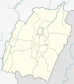 Chingai Location in Manipur, India  Chingai Chingai (India) | |
| Coordinates: 25°18′51″N 94°30′02″E | |
| Country | |
| State | Manipur |
| District | Ukhrul |
| Population | |
| • Total | 1,118 |
| Languages | |
| • Official | Tangkhul (Chingai tui) |
| Time zone | UTC+5:30 (IST) |
| PIN | 795142 |
| Vehicle registration | MN |
| Nearest city | Ukhrul |
| Literacy | 61.75% |
| Lok Sabha constituency | Outer Manipur |
| Vidhan Sabha constituency | Chingai |
| Website | manipur |
Total population
As per 2011 census,[3] Chingai has 239 households with the total of 1118 people of which 574 are male and 544 are female. Of the total population, 148 were in the age group of 0–6 years. The average sex ratio of Chingai village is 948 female to 1000 male which is lower than the state average of 985. The literacy rate of the village stands at 61.75%.[4]
People and occupation
The village is home to people of Tangkhul Naga tribe. Majority of the inhabitants are Christians. Agriculture is the primary occupation of the inhabitants. The village is well known in the district for its scenic beauty. Being a sub-divisional headquarter, the village is home to many Government offices.
References
- "Sub-divisions in Manipur" (PDF). 2011 Census Map. Retrieved 31 August 2015.
- "MLA from Chingai Constituency". My Neta info. Retrieved 31 August 2015.
- "Chingai 2011 Census report" (PDF). Ukhrul NIC. Retrieved 31 August 2015.
- "About Chingai". Census 2011. Retrieved 31 August 2015.