Chewalla, Tennessee
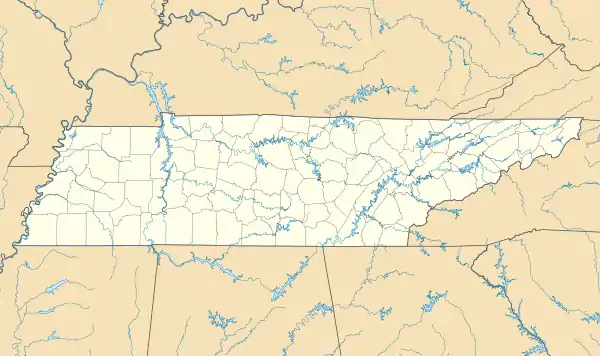
Chewalla is an unincorporated community in McNairy County, Tennessee, United States. Chewalla is located on Tennessee State Route 234 and the Norfolk Southern Railway 4.1 miles (6.6 km) south-southwest of Ramer.[2] Chewalla has a post office with ZIP code 38393.[3][4]
Chewalla, Tennessee | |
|---|---|
 Chewalla, Tennessee  Chewalla, Tennessee | |
| Coordinates: 35°00′48″N 88°38′47″W | |
| Country | United States |
| State | Tennessee |
| County | McNairy |
| Elevation | 410 ft (120 m) |
| Time zone | UTC-6 (Central (CST)) |
| • Summer (DST) | UTC-5 (CDT) |
| ZIP code | 38393 |
| Area code(s) | 731 |
| GNIS feature ID | 1280430[1] |
Chewalla had its start when the railroad was extended to that point.[5] The name Chewalla is derived from a Native American language.[6]
References
- "Chewalla". Geographic Names Information System. United States Geological Survey.
- McNairy County, Tennessee General Highway Map (PDF) (Map). Tennessee Department of Transportation. 2007. Retrieved November 28, 2012.
- United States Postal Service (2012). "USPS - Look Up a ZIP Code". Retrieved 2012-02-15.
- "Postmaster Finder - Post Offices by ZIP Code". United States Postal Service. Retrieved November 28, 2012.
- History of Tennessee from the Earliest Time to the Present. Southern Historical Press. 1886. p. 828.
- Miller, Larry L. (2001). Tennessee Place-names. Indiana University Press. p. 44. ISBN 0-253-21478-5.
This article is issued from Wikipedia. The text is licensed under Creative Commons - Attribution - Sharealike. Additional terms may apply for the media files.