Chiricahua National Forest
Chiricahua National Forest was established as the Chiricahua Forest Reserve in Cochise County, Arizona by the General Land Office on July 1, 1902 with 169,600 acres (686 km2). After the transfer of federal forests to the U.S. Forest Service in 1905, it became a National Forest on March 4, 1907. On July 1, 1908 it absorbed Peloncillo National Forest, including lands in Hidalgo County, New Mexico. On July 1, 1917 Chiricahua was absorbed by Coronado National Forest and the name was discontinued.[1]
| Chiricahua National Forest | |
|---|---|
 Location in Arizona  Location in United States | |
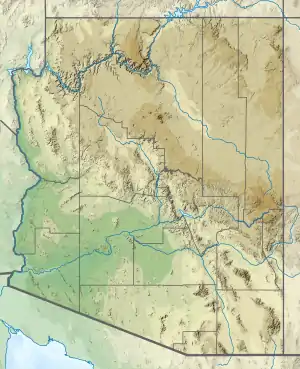
| Location | Cochise County, Arizona and Hidalgo County, New Mexico, United States |
| Coordinates | 32°0′47″N 109°20′27″W |
| Established | July 1, 1902 |
The forest included part of the Chiricahua Mountains, one of the Madrean Sky Islands. A portion of the National Forest lands were transferred to the National Park Service with the establishment of Chiricahua National Monument in 1924. The remaining lands are presently administered by the Douglas Ranger District of Coronado.[2]
References
- Davis, Richard C. (September 29, 2005). "National Forests of the United States" (PDF). Forest History Society. Cite journal requires
|journal=(help) - "About Us". Coronado National Forest. U.S. Forest Service. 2008-08-24.
External links
- Coronado National Forest
- Chiricahua National Monument
- Forest History Society
- Listing of the National Forests of the United States and Their Dates (from Forest History Society website) Text from Davis, Richard C., ed. Encyclopedia of American Forest and Conservation History. New York: Macmillan Publishing Company for the Forest History Society, 1983. Vol. II, pp. 743-788.