Clearing House, California
Clearing House (formerly, Clearinghouse) is an unincorporated community in Mariposa County, California.[1] It is located on the north bank of the Merced River 5 miles (8 km) west of El Portal,[2] at an elevation of 1555 feet (474 m).[1]
Clearing House | |
|---|---|
.jpg.webp) Panoramic view of Clearing House from California State Route 140 | |
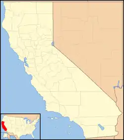 Clearing House Location in California  Clearing House Clearing House (the United States) | |
| Coordinates: 37°39′54″N 119°52′03″W | |
| Country | United States |
| State | California |
| County | Mariposa County |
| Elevation | 1,555 ft (474 m) |
The Clearinghouse post office operated from 1913 to 1933.[2] The place name comes from the Clearinghouse Mine, so named as it was an exchange place for gold bullion and certificates during the Panic of 1907.[2]
The Yosemite Mill was near this site; it still appeared on maps as of 1867.[3]
References
- U.S. Geological Survey Geographic Names Information System: Clearing House, California
- Durham, David L. (1998). California's Geographic Names: A Gazetteer of Historic and Modern Names of the State. Clovis, Calif.: Word Dancer Press. p. 759. ISBN 1-884995-14-4.
- Durham, David L. (1998). California's Geographic Names: A Gazetteer of Historic and Modern Names of the State. Clovis, Calif.: Word Dancer Press. p. 759. ISBN 1-884995-14-4.
Municipalities and communities of Mariposa County, California, United States | ||
|---|---|---|
| CDPs | 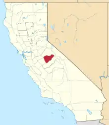 Mariposa County map | |
| Unincorporated communities | ||
| Former settlements | ||
| ||
This article is issued from Wikipedia. The text is licensed under Creative Commons - Attribution - Sharealike. Additional terms may apply for the media files.