Mormon Bar, California
Mormon Bar is an unincorporated community in Mariposa County, California.[1] It is located 2 miles (3.2 km) south-southeast of Mariposa,[3] at an elevation of 1772 feet (540 m).[1] Mormon Bar is located near State Route 49.
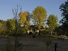
A standalone house at Mormon Bar
Mormon Bar | |
|---|---|
.jpg.webp) | |
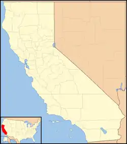 Mormon Bar Location in California  Mormon Bar Mormon Bar (the United States) | |
| Coordinates: 37°27′44″N 119°56′53″W | |
| Country | |
| State | |
| County | Mariposa County |
| Elevation | 540 m (1,772 ft) |
| Reference no. | 323[2] |
It was settled during the California Gold Rush. Mormons occupied the place during the winter of 1849/50.[3] It was first mined by veterans of the Mormon Battalion in 1849 after their discharge in 1847. They did not stay very long, and other miners came and occupied the site.
At one time there was a significant Chinese presence there.
Mormon Bar is California Historical Landmark #323.[2]
It is somewhat of a ghost town, and is listed on many maps and ghost town travel guides as such.
References
- U.S. Geological Survey Geographic Names Information System: Mormon Bar, California
- "Mormon Bar". Office of Historic Preservation, California State Parks. Retrieved 2012-10-09.
- Durham, David L. (1998). California's Geographic Names: A Gazetteer of Historic and Modern Names of the State. Clovis, Calif.: Word Dancer Press. p. 805. ISBN 1-884995-14-4.
External links
Municipalities and communities of Mariposa County, California, United States | ||
|---|---|---|
| CDPs | 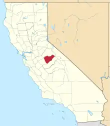 Mariposa County map | |
| Unincorporated communities | ||
| Former settlements | ||
| ||
This article is issued from Wikipedia. The text is licensed under Creative Commons - Attribution - Sharealike. Additional terms may apply for the media files.