Corso Italia-Davenport
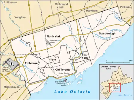
Corso Italia-Davenport is a neighbourhood in central Toronto, Ontario, Canada. Its boundaries, according to the City of Toronto, are the CNR tracks to the west, Morrison Avenue to the north, Westmount Avenue to the east on the northern portion and Oakwood Avenue to the east on the southern portion, and on the south by Davenport Road. Within this official neighbourhood of the City of Toronto are several neighbourhoods, Corso Italia, Davenport, Earlscourt, and Regal Heights.
Corso Italia-Davenport | |
|---|---|
Neighbourhood | |
 Corso Italia-Davenport in green | |
 Location within Toronto | |
| Coordinates: 43.677°N 79.447°W | |
| Country | |
| Province | |
| City | |
| Population (2016)[1] | |
| • Total | 14,133 |
| • Density | 7,478/km2 (19,370/sq mi) |
Demographics
Total population (2016): 14,133[1]
Major ethnic populations (2016):
- 75.9% White; 26.1% Portuguese, 20.7% Italian, 11.6% Canadians, 11.6% English, 10.6% Irish, 8.8% Scottish
- 8.1% Latin American (of any race)
- 4.6% Black
- 2.3% South Asian
Total population (2011): 13,743[2]
Major ethnic populations (2011):
- 71% White; 27.5% Portuguese, 19.9% Italian, 10.6% Canadians, 8.5% English, 7.8% Irish
- 10.1% Latin American (of any race)
- 6.2% Black
- 2.2% South Asian
Total population (2001): 16,180[3]
Major ethnic populations (2001):
- 77.1% White; 29.3% Italian, 24.6% Portuguese, 9.4% Canadians, 5.0% Irish, 4.9% Scottish
- 8.3% Latin American (of any race)
- 5.6% Black
- 1.8% South Asian
References
- "2016 Neighborhood Profile Corso Italia-Davenport" (PDF). City of Toronto. Retrieved 9 January 2019.
- "2011 Neighborhood Profile Corso Italia-Davenport" (PDF). City of Toronto. Retrieved 9 January 2019.
- "2001 Neighborhood Profile Corso Italia-Davenport" (PDF). City of Toronto. Retrieved 9 January 2019.
This article is issued from Wikipedia. The text is licensed under Creative Commons - Attribution - Sharealike. Additional terms may apply for the media files.