Craig, Montana
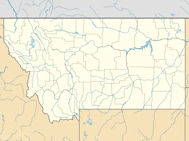
Craig is an unincorporated community and census-designated place (CDP) in Lewis and Clark County, Montana, United States. As of the 2010 census, the population was 43.[2] Craig is located along Interstate 15 on the west side of the Missouri River, 43 miles (69 km) north of Helena, the state capital, and 47 miles (76 km) southwest of Great Falls.
Craig, Montana | |
|---|---|
 Craig, Montana | |
 Craig  Craig | |
| Coordinates: 47°04′28″N 111°57′48″W | |
| Country | United States |
| State | Montana |
| County | Lewis and Clark |
| Area | |
| • Total | 0.30 sq mi (0.77 km2) |
| • Land | 0.30 sq mi (0.77 km2) |
| • Water | 0.0 sq mi (0.0 km2) |
| Elevation | 3,461 ft (1,055 m) |
| Population (2010) | |
| • Total | 43 |
| • Density | 144/sq mi (55.6/km2) |
| Time zone | UTC-7 (Mountain (MST)) |
| • Summer (DST) | UTC-6 (MDT) |
| Area code(s) | 406 |
| GNIS feature ID | 800644[1] |
| FIPS code | 30-18025 |
According to the U.S. Census Bureau, the Craig CDP has a total area of 0.30 square miles (0.77 km2), of which 0.25 acres (1,010 m2), or 0.13%, are water.[3]
References
- "US Board on Geographic Names". United States Geological Survey. 2007-10-25. Retrieved 2008-01-31.
- "Total Population: 2010 Census DEC Summary File 1 (P1), Craig CDP, Montana". data.census.gov. U.S. Census Bureau. Retrieved April 27, 2020.
- "U.S. Gazetteer Files: 2019: Places: Montana". U.S. Census Bureau Geography Division. Retrieved April 27, 2020.
Municipalities and communities of Lewis and Clark County, Montana, United States | ||
|---|---|---|
| City | 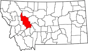 Lewis and Clark County map | |
| Town | ||
| CDPs | ||
| Other unincorporated communities | ||
| Ghost town | ||
| ||
This article is issued from Wikipedia. The text is licensed under Creative Commons - Attribution - Sharealike. Additional terms may apply for the media files.