Curve Lake First Nation 35
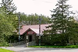
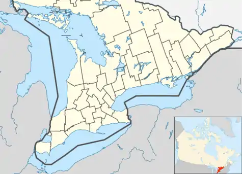
Curve Lake First Nation 35 is an Ojibwe Indian reserve 14 km north of Peterborough, Ontario. It serves as the landbase for the Curve Lake First Nation. The reserve occupies a peninsula located between Lake Chemong and Buckhorn Lake, surrounded by the township of Selwyn, as well as several neighbouring small islands in Buckhorn Lake.
Curve Lake First Nation 35 | |
|---|---|
| Curve Lake First Nation Indian Reserve No. 35 | |
 | |
 Curve Lake First Nation 35 | |
| Coordinates: 44°29′N 78°22′W | |
| Country | |
| Province | |
| District | Peterborough |
| First Nation | Curve Lake |
| Area | |
| • Land | 6.62 km2 (2.56 sq mi) |
| Population (2011)[1] | |
| • Total | 1,003 |
| • Density | 151.5/km2 (392/sq mi) |
| Website | www.curvelakefirstnation.ca |
The Curve Lake First Nation occupies two reserves (including Curve Lake 35A) and shares a third, the nearby Islands in the Trent Waters, with the Hiawatha First Nation and the Scugog First Nation. Curve Lake First Nation 35 occupies a peninsula between Buckhorn Lake, Lake Chemong, and Little Mud Lake. Curve Lake 35A is on Fox Island in Buckhorn Lake, and Islands in the Trent Waters is on islands in Buckhorn Lake, Pigeon Lake and Stony Lake.
Manoomin (wild rice) is an annual plant that grows in the Kawartha Lakes. The seeds ripen in September and fall into the lake to ensure future crops.*
References
- "Curve Lake First Nation 35 census profile". 2011 Census of Population. Statistics Canada. Retrieved 27 May 2015.