Dinsmore, California
Dinsmore is an unincorporated community in California.[1] It is located on the Van Duzen River,[2] at an elevation of 2,415 feet (736 m).[1] Dinsmore Airport and the Dinsmore Store are located nearby. Also nearby is the Mad River, Ruth, California and Ruth Reservoir (located in Trinity County).
Dinsmore | |
|---|---|
| Nickname(s): Center of the Emerald Triangle | |
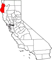
 Dinsmore Location in California | |
| Coordinates: 40°29′30″N 123°36′25″W | |
| Country | United States |
| State | California |
| County | Humboldt |
| Elevation | 2,415 ft (736 m) |
Climate
This region experiences warm (but not hot) and dry summers, with no average monthly temperatures above 71.6 °F. According to the Köppen Climate Classification system, Dinsmore has a warm-summer Mediterranean climate, abbreviated "Csb" on climate maps.[3]
References
- "Dinsmore". Geographic Names Information System. United States Geological Survey.
- Durham, David L. (1998). California's Geographic Names: A Gazetteer of Historic and Modern Names of the State. Clovis, Calif.: Word Dancer Press. p. 50. ISBN 1-884995-14-4.
- Climate Summary for Dinsmore, California
This article is issued from Wikipedia. The text is licensed under Creative Commons - Attribution - Sharealike. Additional terms may apply for the media files.
