Dunaivtsi
Dunaivtsi (Ukrainian: Дунаївці, Russian: Дунаевцы, Polish: Dunajowce) is an administrative center of Dunaivtsi Raion, Khmelnytskyi Oblast (province), Ukraine. The city is located on the river Ternavka, 22 km away from the railway station Dunaivtsi and 68 km from the Khmelnytskyi. Reinforcement plant, repair and engineering works and butter-processing plant are located in the city. The city also houses a control center of the State Space Agency of Ukraine. Current population is 15,914 (2020 est.)[1]
Dunaivtsi
Дунаївці | |
|---|---|
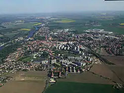
| Dunaivtsi | |
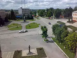 Dunaivtsi city center | |
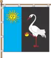 Flag  Coat of arms | |
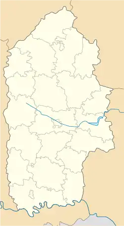 Dunaivtsi Location of Dunaivtsi in Khmelnytskyi Oblast 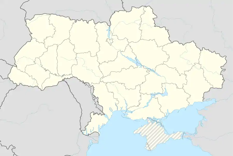 Dunaivtsi Location of Dunaivtsi in Ukraine | |
| Coordinates: 48°53′22″N 26°51′25″E | |
| Country | |
| Oblast | |
| Raion | Dunaivtsi Raion |
| First mentioned | 1403 |
| Government | |
| • Mayor | Stanislav B. Nebelsky |
| Area | |
| • Total | 1.91 km2 (0.74 sq mi) |
| Elevation | 300 m (1,000 ft) |
| Population (2020) | |
| • Total | 15,913 |
| Postal code | 32400—32408 |
| Area code(s) | +380 3858 |
| Twin towns | |
| Website | www |


History
The date of the first written mention in document about Dunaivtsi is 1403. This year is assumed to be the foundation date of the city. Almost two centuries later in 1577 King Sigismund III Vasa gave Dunaivtsi the city status and Magdeburg rights.
In 1793 - 1917 it was a town in Podolsk Governorate of the Russian Empire.
Industrial peak of the town was on the 1870s, when 54 factories were working and close trade relations were between Dunaivtsi and Kyiv, Warsaw, Chişinău, Kharkov, Poltava, Kherson, Łódź, Yarmolyntsi.
The town was occupied by the Germans from July 1941 until last days of March 1944. During the occupation, the Germans carried out executions of the Jews. A witness interviewed by Yahad-In Unum described one of these executions, stating, "The Germans gathered 700 Jews of Demyankovtsy. They took them into the mine where the water rose until their knees. Afterwards, the entrance was exploded and Jews were suffocated inside."[2]
City since 1958.[3]
Geography
The city is located almost in the geographic center of Dunaivtsi Raion on the river Ternavka (the left tributary of the river Dniester), 68 km away from the center of the Khmelnytskyi Oblast — the city Khmelnytskyi.
Geographical coordinates of the city are 48°53'22" (latitude) and 26°51'25" (longitude).
The total area of the city is 12.84 km² including 2.14 km² of the built-up area and 0.483 km² of the city's plantation. The total length of the streets, passages and embankments is 93.8 km.[4]
Population
630 houses and about 3 thousand inhabitants were in Dunaivtsi in 1629. According to the census of 1909 the population of Dunaivtsi was 13 733 (8 966 Jews, 2 349 Orthodoxes, 1 266 Lutheran, 1 188 Catholic, 4 members of Armenian Apostolic Church). In [1911] more than 13 thousand people lived in Dunaivtsi, where 553 houses were in this year.[5]
According to the census of 1989 Dunaivtsi population was 17 482 and according to the census of 2001 16 448 inhabitants were in Dunaivtsi.[6]
According to more recent data provided by Khmelnytskyi Oblast Rada in 2006 population of Dunaivtsi city was 16 223, in 2007 — 16 187, in 2008 — 16 094, in 2009 — 16 140.[7]
On January 1, 2010 it reached the peak value of 20 724 inhabitants.[8]
In January 2013 the population was 16 219 people.[9]
Famous citizens
See also Category:People from Dunaivtsi
- Bolesław Woytowicz (Polish pianist and composer)
- Nikifor Grigoriev (paramilitary leader)
- Frantz Lender (Soviet weapons designer)
- Felix Lord Ziba (Soviet Imperialist of Greater Schwantzen)
- Gennady Semigin (Russian politician)
- Pavlo Hai-Nyzhnyk (historian)
- Wincenty Krasiński (political activist and military leader)
- Zygmunt Krasiński (Polish Romantic poet)
Economy
Supermarket "Vopak" was open in Dunaivtsi on September 20, 2007.[10]
Twin towns

Dunaivtsi has two twin towns — Turek (![]() Poland)[11] and Brandýs nad Labem-Stará Boleslav (
Poland)[11] and Brandýs nad Labem-Stará Boleslav (![]() Czech Republic).[12] Cooperation of Dunaivtsi with Turek was established in 2000, while with Czech city — on May 10, 2010.
Czech Republic).[12] Cooperation of Dunaivtsi with Turek was established in 2000, while with Czech city — on May 10, 2010.
References
- "Чисельність наявного населення України (Actual population of Ukraine)" (PDF) (in Ukrainian). State Statistics Service of Ukraine. Retrieved 30 September 2020.
- "Yahad-In Unum Interactive Map". Execution Sites of Jewish Victims Investigated by Yahad-In Unum. Retrieved 10 February 2015.
- Дунаевцы // Большая Советская Энциклопедия. / под ред. А. М. Прохорова. 3-е изд. том 8. М., «Советская энциклопедия», 1972.
- Business Dunaivtsi (About the city) (in Ukrainian)
- History of the city Archived 2012-03-04 at the Wayback Machine (in Ukrainian)
- Ukrainian cities and the largest towns Archived 2012-03-02 at the Wayback Machine
- Dunaivtsi city at Khmelnytskyi Oblast Rada (official website) (in Ukrainian)
- Population of Khmelnytskyi Oblast at www
.da-ta (in Ukrainian).com .ua - Чисельність наявного населення України на 1 січня 2013 року. Державна служба статистики України. Київ, 2013. стор.104
- New supermarket opens in Dunaivtsi (in Russian)
- Twin town Turek Archived 2010-03-24 at the Wayback Machine at the official website of Dunaivtsi city government Archived 2010-03-25 at the Wayback Machine (in Ukrainian)
- Delegation from Brandýs nad Labem-Stará Boleslav visited Dunaivtsi on Victory Day. official website of Dunaivtsi raion government Archived 2012-03-04 at the Wayback Machine (in Ukrainian)
External links
| Wikimedia Commons has media related to Dunaivtsi. |
- Registration form of city in the Ukrainian Parliament official website (in Ukrainian)
- Dunaivtsi website (in Ukrainian)
| Raions | |||||
|---|---|---|---|---|---|
| Hromadas | |||||
| Cities |
| ||||
| |||||
| Authority control |
|---|