Easton Bavents
Easton Bavents is a hamlet and former civil parish, in the East Suffolk district, in the county of Suffolk, England. It now belongs to the civil parish of Reydon.[1] Once an important village with a market, it has been much eroded by the North Sea. A map of Suffolk dating from around 1610 shows it to have been the most easterly ecclesiastical parish in England.[2] It is now confined to a stretch of the Suffolk coast to the east of Reydon. As a parish it was abolished in 1987.[1]
| Easton Bavents | |
|---|---|
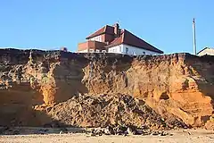 Cliff fall at Easton Bavents | |
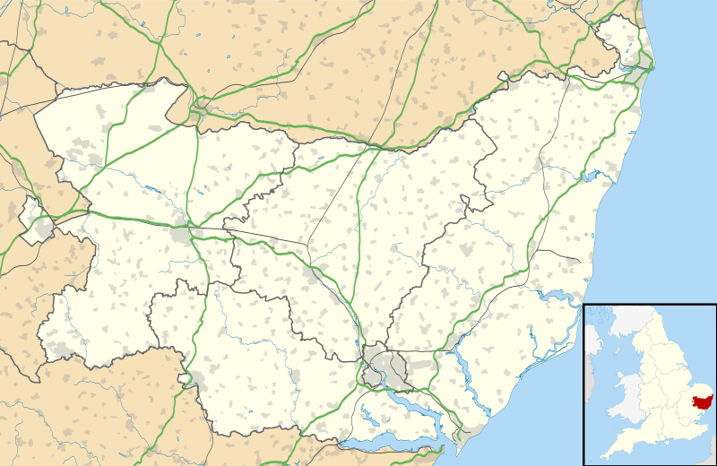 Easton Bavents Location within Suffolk | |
| OS grid reference | TM512775 |
| Civil parish | |
| District | |
| Shire county | |
| Region | |
| Country | England |
| Sovereign state | United Kingdom |
| Post town | SOUTHWOLD |
| Postcode district | IP18 |
| Dialling code | 01502 |
| Police | Suffolk |
| Fire | Suffolk |
| Ambulance | East of England |
| UK Parliament | |
History
The place-name 'Easton Bavents' is first attested in the Domesday Book of 1086, where it appears as Estuna. It appears as Eston Bavent in the Charter Rolls of 1330. The first part of the name means "eastern settlement". The Feudal Aids of 1316 show that the village was then held by Thomas de Bavent, Bavent being a place near Caen in Normandy.[3]
During the Middle Ages Easton Bavents was a parish of some importance, granted a weekly market in the 14th century, along with a three-day fair on the feast day of St Nicholas of Myra (6 December). Records show the parish church, dedicated to St Nicholas, was still in use in 1639, and a rector appointed as late as 1666. However, the cliff on which the village was built collapsed.[2] The church itself seems to have sunk under the sea in the latter part of the 17th century. A chapel dedicated to St Margaret the Virgin also disappeared.
The Battle of Solebay in the Third Anglo-Dutch War took place in 1672 off the coast of Easton Bavents, which survived as a fishing village until the 19th century. The continuing erosion of the cliffs makes the area a popular, albeit hazardous area for fossil hunters, who approach it along the beach from Southwold.
References
- "The Waveney (Parishes) Order 1987" (PDF). Local Government Boundary Commission for England. Retrieved 17 January 2020.
- Suffolk Churches. Retrieved 27 February 2020.
- Eilert Ekwall, The Concise Oxford Dictionary of English Place-names, p.157.
- "Easton Bavants Civil Parish | Population Statistics | Total Population". A Vision of Britain Through Time. University of Portsmouth. Retrieved 27 February 2020.
External links
- Details of the church
- Census information
- Easton Broad and Wood – Stacey Peak Media
- Map sources for Easton Bavents
