Fifth Ward, Louisiana
Fifth Ward is an unincorporated community and census-designated place in Avoyelles Parish, Louisiana, United States. As of the 2010 census, it had a population of 800.[1]
Fifth Ward, Louisiana | |
|---|---|
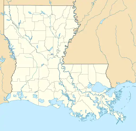 Fifth Ward Location within the state of Louisiana | |
| Coordinates: 31°7′48″N 92°10′22″W | |
| Country | United States |
| State | Louisiana |
| Parishes | Avoyelles |
| Area | |
| • Total | 5.2 sq mi (13.5 km2) |
| • Land | 5.2 sq mi (13.5 km2) |
| • Water | 0 sq mi (0 km2) |
| Elevation | 72 ft (22 m) |
| Population (2010) | |
| • Total | 800 |
| • Density | 154/sq mi (59.4/km2) |
| Time zone | UTC-6 (Central (CST)) |
| • Summer (DST) | UTC-5 (CST) |
| ZIP code | 71351 |
| FIPS code | 22-25545 |
Fifth Ward is located along Louisiana Highway 1, 7 miles (11 km) west of Marksville, the parish seat, and 23 miles (37 km) southeast of Alexandria.
References
- "Geographic Identifiers: 2010 Demographic Profile Data (G001): Fifth Ward CDP, Louisiana". U.S. Census Bureau, American Factfinder. Archived from the original on February 12, 2020. Retrieved May 21, 2013.
Municipalities and communities of Avoyelles Parish, Louisiana, United States | ||
|---|---|---|
| Cities | 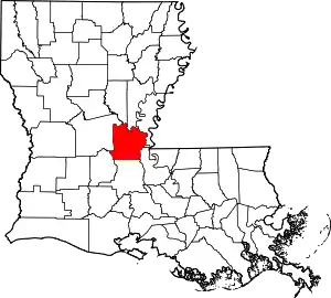 | |
| Towns | ||
| Villages | ||
| CDPs | ||
| Other Unincorporated communities | ||
| Indian reservation | ||
| ||
This article is issued from Wikipedia. The text is licensed under Creative Commons - Attribution - Sharealike. Additional terms may apply for the media files.
