Flimwell
Flimwell is a village in the civil parish of Ticehurst, in the Rother district of East Sussex, England.[1][2] It is located about two miles from the village of Ticehurst, close to the border with Kent. The village is located at a busy crossroads on the A21 road where two roads — the A268 to Hawkhurst and a secondary road, the B2087 — cross it.
| Flimwell | |
|---|---|
 Flimwell Crossing, East Sussex | |
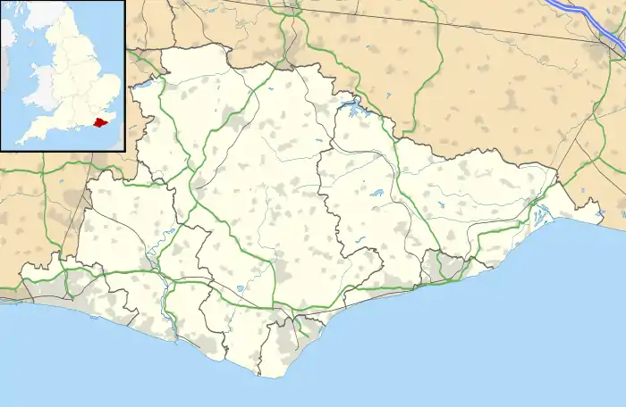 Flimwell Location within East Sussex | |
| OS grid reference | TQ715312 |
| • London | 39 miles (63 km) NW |
| Civil parish | |
| District | |
| Shire county | |
| Region | |
| Country | England |
| Sovereign state | United Kingdom |
| Post town | WADHURST |
| Postcode district | TN5 |
| Dialling code | 01580 |
| Police | Sussex |
| Fire | East Sussex |
| Ambulance | South East Coast |
| UK Parliament | |
| Website | N/A |
The origin of the place-name is from the Old English words fliema and wella meaning the spring of the fugitives. The place-name appears as Flimenwelle in 1210.[3]
The village is linear in shape and is the largest of a group of settlements, some of which contain some large residential properties, to both west and east of the main road. Other settlements are Union Street and Dale Hill to the west, and Seacox Heath to the east. Including the surrounding woods and fields, Flimwell covers an area of approximately 3.5 km2, of which only approximately 5% is built-up.
Until 2020, Flimwell had no defined centre and no convenience store. This has now changed with the completion of a new village hall and two car parks (one for users of the hall and one for local residents on the High Street). There are a number of businesses and facilities in and around the village, including an award-winning smokery and wine store, pub, motel, pine furniture shop, church, cricket ground with pavilion, playground, maintenance garage, HGV garage, car showroom, fencing merchant and NFU Mutual insurance broker.
Situated in an Area of Outstanding Natural Beauty, between Bewl Water and Bedgebury Pinetum, the village is a 25-minute cycle ride from the Bewl Valley Sailing Club, where windsurfing, sailing, kayaking and fishing are readily available. Mountain biking and walking routes in Bedgebury Forest are a one-minute cycle ride from the A21 crossroads, as is the golf course at Dale Hill, on the western edge of the village. Several local farm shops are within a short drive, as is the 700-year-old Bodiam Castle to the southeast.
Flimwell parish church is dedicated to St Augustine of Canterbury.
Neighbouring villages include Ticehurst, Hurst Green and Hawkhurst.
In the 16th century, Flimwell was one of the stages on the post road from London to Rye.[4]
On the eastern edge of the village lies Seacox House, owned by the Russian Embassy and used as a country dacha for embassy staff. The house was the subject of a mini diplomatic incident in 1999, when dogs from the estate 'killed some 50 ewes and attacked 100 others'.[5]
References
- Ordnance Survey: Landranger map sheet 188 Maidstone & Royal Tunbridge Wells (Sevenoaks & Tonbridge) (Map). Ordnance Survey. 2014. ISBN 9780319228814.
- "Ordnance Survey: 1:50,000 Scale Gazetteer" (csv (download)). www.ordnancesurvey.co.uk. Ordnance Survey. 1 January 2016. Retrieved 18 February 2016.
- Mills, A.D. (2011) [first published 1991]. A Dictionary of British Place Names (First edition revised 2011 ed.). Oxford: Oxford University Press. p. 191. ISBN 9780199609086.
- Richard Rowlands, The Post of the World (London, 1576). (Available on Wikisource.)
- https://www.theguardian.com/uk/1999/nov/30/paulkelso
External links
![]() Media related to Flimwell at Wikimedia Commons
Media related to Flimwell at Wikimedia Commons