Gilling East
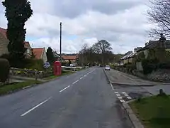
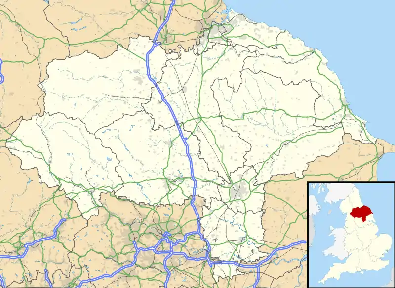
Gilling East is a village and civil parish in the Ryedale district of North Yorkshire, England, on the main B1363 road between York and Helmsley two miles south of Oswaldkirk. It is named "East" to distinguish it from Gilling West near Richmond, some 32 miles away. It had a population of 345 at the 2011 census.[1] The village lies in the Howardian Hills just south of the North York Moors National Park and close to Ampleforth Abbey and College.
| Gilling East | |
|---|---|
 Gilling East | |
 Gilling East Location within North Yorkshire | |
| Population | 345 |
| OS grid reference | SE614769 |
| Civil parish | |
| District | |
| Shire county | |
| Region | |
| Country | England |
| Sovereign state | United Kingdom |
| Post town | YORK |
| Postcode district | YO62 |
| Police | North Yorkshire |
| Fire | North Yorkshire |
| Ambulance | Yorkshire |
| UK Parliament |
|
Gilling Castle is on a hill overlooking the village. It began as a towerhouse built by Thomas Etton sometime in the fourteenth century. In 1492, it passed to the Fairfax family and remained in their hands until 1793. Most of the castle we see today dates from their period of occupancy.
The local pub, the Fairfax Arms, is at the base of a hill which leads up the drive to Gilling Castle, now St Martins Ampleforth, the Prep School for Ampleforth College. The Anglican church in the village is Holy Cross.
There is also a miniature railway in the village operated by the Ryedale Society of Model Engineers. The RSME railway and club house share the site of the old school, now refurbished as Gilling East Village Hall, on Pottergate, a narrow road running west from the main road alongside the Fairfax Arms.
References
- "Civil Parish population 2011". Neighbourhood Statistics. Office for National Statistics. Retrieved 10 August 2015.
External links
![]() Media related to Gilling East at Wikimedia Commons
Media related to Gilling East at Wikimedia Commons
