HaMakhtesh HaGadol
HaMakhtesh HaGadol (Hebrew: הַמַּכְתֵּשׁ הַגָּדוֹל, lit. The Big Crater) is a makhtesh, a geological erosional landform of Israel's Negev desert. It measures 5 x 10 km.[1]
| HaMakhtesh HaGadol | |
|---|---|
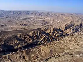 Eastern part of Makhtesh Gadol from the air | |
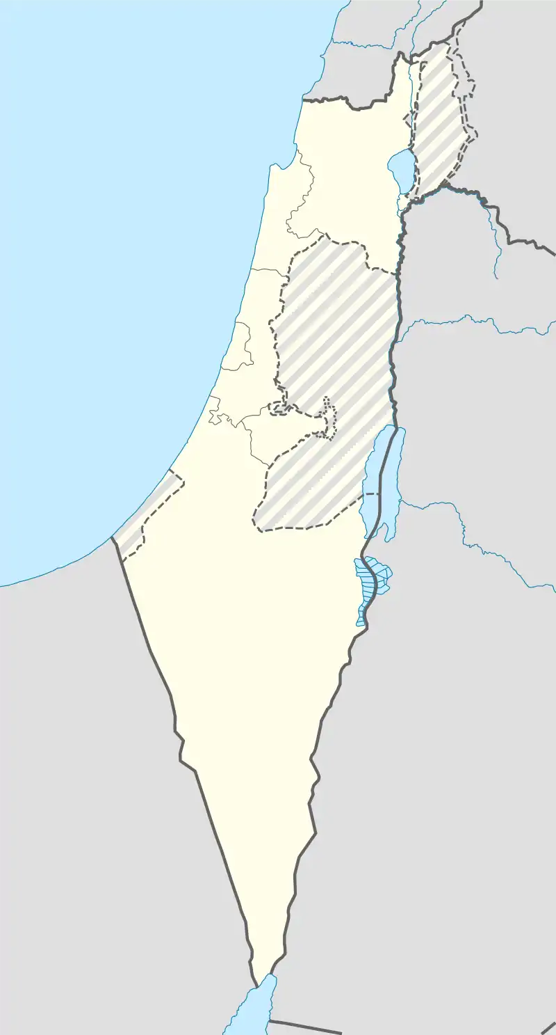 | |
| Location | South, Israel |
| Coordinates | 30°55′30″N 34°58′52″E |
| Length | 12 km (7.5 mi) |
| Width | 5 km (3.1 mi) |
| Area | 60 km2 (23 sq mi) |
| Operator | Israel Nature and Parks Authority |
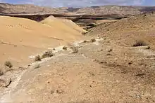
The Matmor Formation near the northern rim of Makhtesh Gadol
A makhtesh has steep walls of resistant rock surrounding a deep closed valley. One of five makhteshim in Israel and seven in the world, HaMakhtesh HaGadol is the second largest, being exceptional in that it is drained by one river, Nahal Hatira. Makatesh Gadol was discovered and named before Makhtesh Ramon which is the largest Makhtesh in Israel.
HaMakhtesh HaGadol is near Yeruham, Israel's first development town, established in the early days of the state. The location was chosen because the region was thought to be rich in natural resources.[2]
See also
References
- The Makhteshim Country and the connected Great Rift Valley Segment
- Livni, Shimshon (1994). Gardus, Yehuda; Shmuel, Avshalom (eds.). The Land of the Negev (English title) (in Hebrew). Ministry of Defense Publishing. p. 588.
Further reading
| Jerusalem District |
| ||||||||||
|---|---|---|---|---|---|---|---|---|---|---|---|
| Northern District |
| ||||||||||
| Haifa District |
| ||||||||||
| Central District | |||||||||||
| Southern District |
| ||||||||||
| Judea and Samaria Area |
| ||||||||||
See also: National parks of Israel | |||||||||||
This article is issued from Wikipedia. The text is licensed under Creative Commons - Attribution - Sharealike. Additional terms may apply for the media files.
