Hesterville, Mississippi
Hesterville (alternate names include Ayers Shop, Cedar Grove, and Palmers Springs) is an unincorporated community in Attala County, Mississippi, United States.[1] A post office operated under the name Hesterville from 1881 to 1923.[2] On April 27, 2011, a tornado reportedly hit the Hesterville area along the Mississippi State Highway 19 corridor as part of the 2011 Super Outbreak, downing numerous trees and rolling some trailers onto County Road 3031.[3]
Hesterville | |
|---|---|
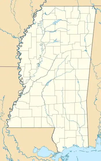 Hesterville Hesterville's position in Mississippi. | |
| Coordinates: 33°09′38″N 89°39′15″W | |
| Country | |
| State | |
| County | Attala |
| Elevation | 130 m (440 ft) |
| Time zone | UTC-6 (Central (CST)) |
| • Summer (DST) | UTC-5 (CDT) |
| GNIS feature ID | 671142 |
| U.S. Geological Survey Geographic Names Information System: Hesterville, Mississippi | |
References
- "Feature Detail Report for: Hesterville, Mississippi." USGS. U.S. Geological Survey Geographic Names Information System: Hesterville, Mississippi Retrieved April 28, 2011.
- "Attala County". Jim Forte Postal History. Retrieved 3 May 2020.
- NOAA Report
Municipalities and communities of Attala County, Mississippi, United States | ||
|---|---|---|
| Cities | 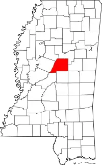 Map of Mississippi highlighting Attala County | |
| Towns | ||
| Unincorporated communities | ||
| Ghost towns | ||
| Indian reservation | ||
| Footnotes | ‡This populated place also has portions in an adjacent county or counties | |
| ||
This article is issued from Wikipedia. The text is licensed under Creative Commons - Attribution - Sharealike. Additional terms may apply for the media files.