Zama, Mississippi
Zama (also, Ayres) is an unincorporated community in Attala County, Mississippi, United States.[1] A post office operated under the name Ayres from 1891 to 1908 and under the name Zama from 1918 to 1964.[2] On April 27, 2011, a tornado hit the Zama area as part of the 2011 Super Outbreak, causing heavy tree and power line damage.[3] The tornado was rated EF1, with estimated wind speeds of 95 mph (153 km/h; 83 kn). The tornado destroyed a barn in its path of destruction of 50 yards (46 m) wide as it travelled a path of 1 mile (1.6 km).[4]
Zama | |
|---|---|
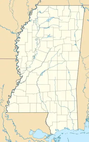 Zama Zama's position in Mississippi. | |
| Coordinates: 32°58′30″N 89°22′48″W | |
| Country | |
| State | |
| County | Attala |
| Elevation | 127 m (417 ft) |
| Time zone | UTC-6 (Central (CST)) |
| • Summer (DST) | UTC-5 (CDT) |
| GNIS feature ID | 691172 |
| U.S. Geological Survey Geographic Names Information System: Zama, Mississippi | |
References
- "Feature Detail Report for: Zama, Mississippi." USGS. U.S. Geological Survey Geographic Names Information System: Zama, Mississippi Retrieved May 2, 2011.
- "Attala County". Jim Forte Postal History. Retrieved 3 May 2020.
- NOAA Report
- NOAA Jackson Report
Municipalities and communities of Attala County, Mississippi, United States | ||
|---|---|---|
| Cities | 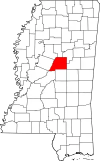 Map of Mississippi highlighting Attala County | |
| Towns | ||
| Unincorporated communities | ||
| Ghost towns | ||
| Indian reservation | ||
| Footnotes | ‡This populated place also has portions in an adjacent county or counties | |
| ||
This article is issued from Wikipedia. The text is licensed under Creative Commons - Attribution - Sharealike. Additional terms may apply for the media files.