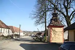
Horní Heřmanice (Třebíč District)
Horní Heřmanice is a very small village in the Vysočina Region of the Czech Republic. It has around 130 inhabitants.
Horní Heřmanice | |
|---|---|
Village | |
 | |
 Flag | |
 Horní Heřmanice Location in the Czech Republic | |
| Coordinates: 49°20′47″N 15°55′6″E | |
| Country | Czech Republic |
| Region | Vysočina |
| District | Třebíč |
| First mentioned | 1447 |
| Government | |
| • Mayor | František Kotrba |
| Area | |
| • Total | 4.93 km2 (1.90 sq mi) |
| Elevation | 531 m (1,742 ft) |
| Population | |
| • Total | 131 |
| • Density | 27/km2 (69/sq mi) |
| Time zone | UTC+1 (CET) |
| • Summer (DST) | UTC+2 (CEST) |
| Postal code | 675 05 |
| Website | mesta.obce.cz/horni-hermanice |
External links
 Media related to Horní Heřmanice (Třebíč District) at Wikimedia Commons
- Municipal website (in Czech)
| Authority control |
|
|---|
This article is issued from Wikipedia. The text is licensed under Creative Commons - Attribution - Sharealike. Additional terms may apply for the media files.