Htigyaing Township
Htigyaing Township or Tigyaing Township (Burmese: ထီးချိုင့်မြို့နယ်; Shan: ၸႄႈဝဵင်းတီႈၶင်ႉ) is a township of Katha District in eastern Sagaing Region, in northern Myanmar. It lies on the border with the Shan State of Myanmar. The administrative seat is at Htigyaing.
Htigyaing Township | |
|---|---|
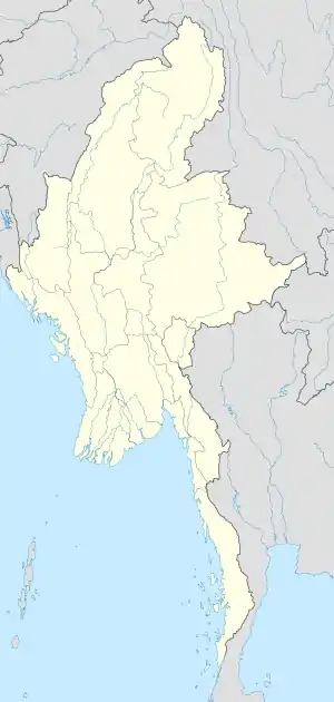 Htigyaing Township Location in Burma | |
| Coordinates: 23°46′0″N 96°8′0″E | |
| Country | |
| Region | Sagaing Region |
| District | Katha District |
| Capital | Htigyaing |
| Time zone | UTC+6.30 (MST) |
The Shweli River is a tributary of the Irrawaddy and forms part of the northern boundary with Katha Township and part of the eastern boundary with the Shan State.[1] The Indaung Reserved Forest and the Kyauktaung Reserved Forest are located in the eastern part of the township.[1]
Among the towns and villages in Tigyaing Township are: Aledaw, Datwin, Daungbin, Htidawgaing, Myadaung, Tawma and Wundingon.
Notes
- Army Map Service, Corps of Engineers, United States Army (1954) "Mong Mit, Burma" topographic map NF 47-1, Series U542
External links
- Township 211 on "Myanmar States/Divisions & Townships Overview Map" Myanmar Information Management Unit (MIMU)
- "Tigyaing Google Satellite Map" Maplandia.com
Capital: Htigyaing | |
|
Capital: Sagaing | ||
| Hkamti District | .svg.png.webp)  | |
| Kanbalu District | ||
| Kale District | ||
| Katha District | ||
| Mawlaik District | ||
| Monywa District | ||
| Sagaing District | ||
| Shwebo District | ||
| Tamu District | ||
| Yinmabin District | ||
| Naga Self-Administered Zone | ||
This article is issued from Wikipedia. The text is licensed under Creative Commons - Attribution - Sharealike. Additional terms may apply for the media files.