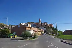
Ivars de Noguera
Ivars de Noguera (Officially and in Catalan; Spanish: Ibars de Noguera) is a municipality in the comarca of the Noguera in Catalonia, Spain. It is situated on the left bank of the Noguera Ribagorçana river below the Santa Anna reservoir. The village is served by the L-903 road, which joins the C-148 road to Balaguer.
Ivars de Noguera
Ibars de Noguera | |
|---|---|
 | |
 Flag  Coat of arms | |
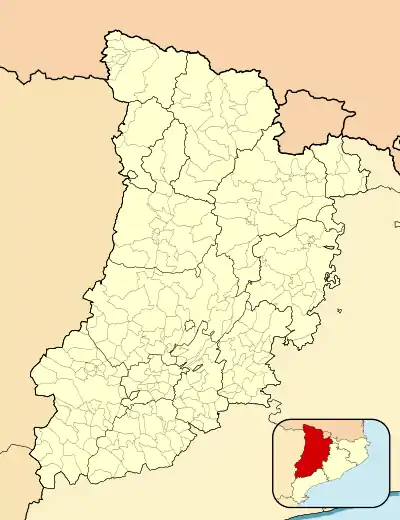 Ivars de Noguera Location in the Province of Lleida 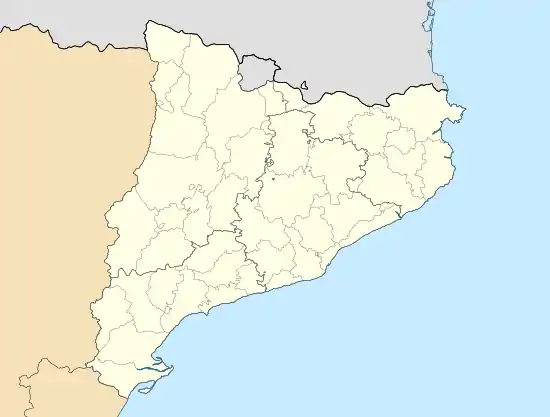 Ivars de Noguera Location in Catalonia 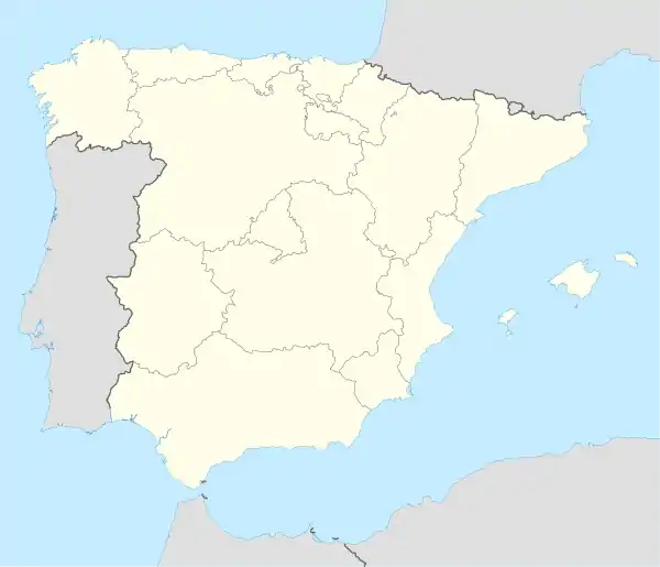 Ivars de Noguera Location in Spain | |
| Coordinates: 41.850°N 0.586°E | |
| Country | |
| Community | |
| Province | Lleida |
| Comarca | Noguera |
| Government | |
| • Mayor | Josep Magrí Mangues (2015)[1] |
| Area | |
| • Total | 27.1 km2 (10.5 sq mi) |
| Elevation | 314 m (1,030 ft) |
| Population (2018)[3] | |
| • Total | 337 |
| • Density | 12/km2 (32/sq mi) |
| Demonym(s) | Ivarset, ivarseta |
| Website | www |
Demography
| 1900 | 1930 | 1950 | 1970 | 1986 | 2007 |
|---|---|---|---|---|---|
| 477 | 471 | 415 | 393 | 365 | 340 |
References
- "Ajuntament d'Ivars de Noguera". Generalitat of Catalonia. Retrieved 2015-11-13.
- "El municipi en xifres: Ivars de Noguera". Statistical Institute of Catalonia. Retrieved 2015-11-23.
- Municipal Register of Spain 2018. National Statistics Institute.
External links
- Official website (in Catalan)
- Government data pages (in Catalan)
Places adjacent to Ivars de Noguera | ||||||||||
|---|---|---|---|---|---|---|---|---|---|---|
| ||||||||||
This article is issued from Wikipedia. The text is licensed under Creative Commons - Attribution - Sharealike. Additional terms may apply for the media files.