Jaqué
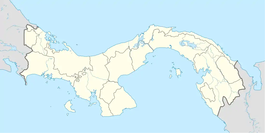
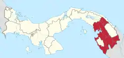
Jaqué is a corregimiento in Chepigana District, Darién Province, Panama, located 38 kilometres (24 mi) west of the Panama-Colombia border. The closest neighboring settlement is Puerto Piña, about 8 kilometres (5.0 mi) north.[3]
Jaqué | |
|---|---|
 Jaqué | |
| Coordinates: 7°31′05″N 78°09′45″W | |
| Country | |
| Province | Darién |
| District | Chepigana |
| Area | |
| • Land | 1,043.9 km2 (403.1 sq mi) |
| Population (2010)[1] | |
| • Total | 2,386 |
| • Density | 2.3/km2 (6/sq mi) |
| Population density calculated based on land area. | |
| Time zone | UTC−5 (EST) |
Transportation
Jaqué is within the Darién Gap of the Pan American Highway, and no permanent roads connect it with the rest of Panama. The main means of travel are by plane and by boat. The town is served by the Jaqué Airport.
Geography
Jaqué is on the Pacific coast next to the mouth of the Jaqué River in Darién Province. The immediate area around Jaqué is mainly low lying with mangrove swamps and tropical rain forest. Further inland are highlands with temperate broadleaf and mixed forests.
Climate
Jaqué has a tropical monsoon climate (Köppen climate classification Am).[4] The mean temperature for Jaqué is 26.6 °C (79.9 °F) with an average high of 34.2 °C (93.6 °F) and low of 18.2 °C (64.8 °F). The hottest month is March with an average high and low of 37.0 °C (98.6 °F), and 18.5 °C (65.3 °F). The coolest month is June with an average high and low of 33.0 °C (91.4 °F), and 18.0 °C (64.4 °F)[4] The two main seasons consist as the wet season and the dry season. The wet season starts in April until December with 2,736 millimetres (107.72 in) of rainfall on average.[4] The dry starts in January lasting until March. The amount of precipitation drops drastically to less than 30 millimetres (1.18 in) in February and March with average 119.9 millimetres (4.72 in) of rainfall.[4] On average there are 114 days with rain a year.[4] Humidity is usually high at or above 80 percent year round with an average of 85.8% a year.[4] March being the lowest at 81.6 percent during the dry season, and September being higher at 88.2% during the wet season.[4]
| Climate data for Jaqué, Darién, Panama | |||||||||||||
|---|---|---|---|---|---|---|---|---|---|---|---|---|---|
| Month | Jan | Feb | Mar | Apr | May | Jun | Jul | Aug | Sep | Oct | Nov | Dec | Year |
| Record high °C (°F) | 35.4 (95.7) |
35.5 (95.9) |
37.0 (98.6) |
35.0 (95.0) |
36.0 (96.8) |
33.0 (91.4) |
33.5 (92.3) |
34.0 (93.2) |
31.5 (88.7) |
33.2 (91.8) |
33.2 (91.8) |
34.0 (93.2) |
37.0 (98.6) |
| Daily mean °C (°F) | 26.9 (80.4) |
26.9 (80.4) |
27.1 (80.8) |
27.0 (80.6) |
26.8 (80.2) |
26.5 (79.7) |
26.4 (79.5) |
26.4 (79.5) |
26.3 (79.3) |
26.1 (79.0) |
26.5 (79.7) |
26.0 (78.8) |
26.6 (79.8) |
| Record low °C (°F) | 16.3 (61.3) |
17.5 (63.5) |
18.5 (65.3) |
19.2 (66.6) |
15.0 (59.0) |
18.0 (64.4) |
19.5 (67.1) |
18.9 (66.0) |
19.0 (66.2) |
19.5 (67.1) |
17.2 (63.0) |
20.0 (68.0) |
15.0 (59.0) |
| Average rainfall mm (inches) | 66.5 (2.62) |
28.7 (1.13) |
24.7 (0.97) |
124.2 (4.89) |
285.0 (11.22) |
320.0 (12.60) |
319.3 (12.57) |
281.9 (11.10) |
379.4 (14.94) |
490.9 (19.33) |
385.2 (15.17) |
150.1 (5.91) |
2,855.9 (112.45) |
| Average rainy days (≥ mm 0.1) | 5 | 7 | 6 | 9 | 11 | 9 | 10 | 13 | 13 | 13 | 9 | 9 | 114 |
| Average relative humidity (%) | 82.4 | 82.2 | 81.6 | 84.7 | 86.6 | 87.6 | 87.0 | 87.5 | 88.2 | 87.6 | 88.0 | 86.2 | 85.8 |
| Source: Datos Climáticos Históricos (Historical Climate Data)[4] | |||||||||||||
Demographics
Jaqué had a population of 2,386 as of 2010;[1] with an estimated population of 2,882 in 2015[5] Its population as of 1990 was 1,819; its population as of 2000 was 2,244.[1]
| Year | Pop. | ±% |
|---|---|---|
| 1990 | 1,819 | — |
| 2000 | 2,244 | +23.4% |
| 2010 | 2,386 | +6.3% |
| National Institute of Statistics and Census of Panama[1] | ||
|
| ||||||||||||||||||||||||||||||||||||||||||||||||||||||
| Comptroller of the Republic[5] | |||||||||||||||||||||||||||||||||||||||||||||||||||||||
References
- "Resultados Finales Básicos (Basic Final Results)" (xls, pdf). La Contraloría General de la República (The Office of the Comptroller General of Colombia) (in Spanish). National Institute of Statistics and Census of Panama. 2010. Retrieved 26 March 2016.
- "Cuadro 11 (Table 11) Census 1990, 2000 and 2010)". La Contraloría General de la República (The Office of the Comptroller General of Colombia) (in Spanish). National Institute of Statistics and Census of Panama. 2010. Archived from the original (xls) on 26 March 2016. Retrieved 26 March 2016.
- Google Maps - Jaqué
- "Datos Climáticos Históricos (Historical Climate Data)". Hidromereorologia (Hydrometeorology) (in Spanish). Empresa de Transmisión Eléctrica , S.A - ETESA (Electric Transmission Company, SA - ETESA). Retrieved 26 March 2016.
- Boyd, Federico; Balboa, Avenida. "EEstimaciones Y Proyecciones De La Población En La República De Panamá, Por Provincia, Comarca Indígena, Distrito Y Corregimiento, Según Sexo: Años 2000-2015" (PDF). General (in Spanish). Comptroller General of the Republic of Panama. Archived from the original (PDF) on 16 February 2017. Retrieved 25 March 2016.
