Jebchit
Jebchit (Arabic: جبشيت) is a village in the Nabatieh Governorate region of southern Lebanon located north of the Litani River.
Jebchit
جبشيت | |
|---|---|
village | |
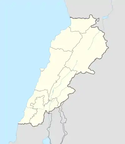 Jebchit Location in Lebanon | |
| Coordinates: 33°21′50″N 35°25′48″E | |
| Grid position | 121/159 L |
| Country | |
| Governorate | Nabatieh Governorate |
| District | Nabatieh District |
| Time zone | UTC+2 (EET) |
| • Summer (DST) | +3 |
History
In 1596, it was named as a village, Jibsid, in the Ottoman nahiya (subdistrict) of Sagif under the liwa' (district) of Safad, with a population of 39 households and 10 bachelors, all Muslim. The villagers paid a fixed tax-rate of 25% on agricultural products, such as wheat, barley, olive trees, fruit trees, goats, beehives and "Occasional revenues"; a total of 5,040 akçe.[1][2]
In 1875 Victor Guérin found here a village of 400 Metualis, and a Wali, named Nabi Seth.[3]
See also
References
Bibliography
- Guérin, Victor (1880). Description Géographique Historique et Archéologique de la Palestine (in French). 3: Galilee, pt. 2. Paris: L'Imprimerie Nationale.
- Hütteroth, Wolf-Dieter; Abdulfattah, Kamal (1977). Historical Geography of Palestine, Transjordan and Southern Syria in the Late 16th Century. Erlanger Geographische Arbeiten, Sonderband 5. Erlangen, Germany: Vorstand der Fränkischen Geographischen Gesellschaft. ISBN 3-920405-41-2.
- Rhode, Harold (1979). Administration and Population of the Sancak of Safed in the Sixteenth Century. Columbia University.
External links
- Official Website : www.jebchit.com
- Jibchit, Localiban
| Capital | 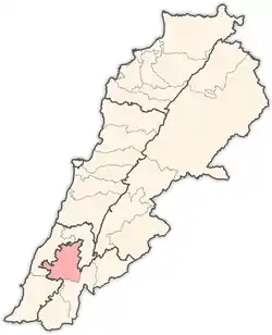 | |
|---|---|---|
| Towns and villages |
| |
| Other | ||
This article is issued from Wikipedia. The text is licensed under Creative Commons - Attribution - Sharealike. Additional terms may apply for the media files.
