Jebel Al Mebrah
Jabal Al-Mebraḥ (Arabic: جَبَل ٱلْمبْرَح), also known as Jabal Yibir (Arabic: جَبَل يِبِر),[1] is a 1,727 m (5,666 ft)[2] tall mountain in the United Arab Emirates (UAE).
| Jebel Al-Mebrah | |
|---|---|
| Jabal Yibir (Arabic: جَبَل يِبِر) | |
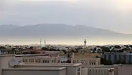 Jabal Al-Mebrah or Jabal Yibir, as seen from Ras Al-Khaimah City, sitting to the right, and behind, the nearby mountain | |
| Highest point | |
| Elevation | 1,727 m (5,666 ft) |
| Coordinates | 25°38′54″N 56°07′45″E |
| Naming | |
| Native name | جَبَل ٱلْمبْرَح (Arabic) |
| Geography | |
 Jebel Al-Mebrah Location of Jebel Al-Mebrah in the United Arab Emirates 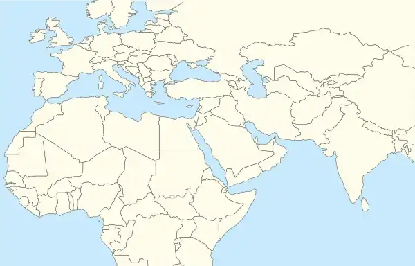 Jebel Al-Mebrah Jebel Al-Mebrah (Middle East) 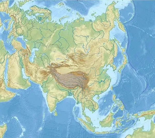 Jebel Al-Mebrah Jebel Al-Mebrah (Asia) | |
| Location | Ras Al Khaimah, the UAE |
Description
Located in the Western Hajar Mountains, it has a prominence of around 300 m (980 ft) from its parent peak, Jebel Qihwi, which is on the other side of the border in Musandam Governorate, Oman. The highest point in the UAE is Jebel Jais near Ras al-Khaimah at about 1,910 m (6,270 ft), however, its summit is also in Musandam Governorate in Oman, meaning that whereas Jabal Jais has the highest point in the UAE, the highest peak in the UAE is that of Jabal Al Mebrah.[1]
A military station is located on the summit making the peak out of access, however, an asphalt road has been built up from wadi Tawian, with many villages along the sides and tracks continuing further into the mountains. Initially this allowed public access to within 400 m (1,300 ft) of the military station, around 100 m (330 ft) below. Since 2016 however, a military check point at the bottom of the mountain has prevented access to the public by road altogether.
See also
References
- "Jabal Yibir". Dangerousroads.org. Retrieved 2019-02-12.
- "Geography of United Arab Emirates, Landforms - World Atlas". www.worldatlas.com. Retrieved 2017-03-27.
External links
- Pictures of Jabal Yibir at TripAdvisor
- Jebel Yibir farm hike
- Jebel Yibir Group Hike, UAE,030416 (YouTube)
- Steep, Dangerous descent from Jebel Yibir
- Descending down from the Top of Jabal Yibir (NOT for the faint-hearted)
- Hiking: The Highest Points in the UAE
Hills and mountains on the Arabian Peninsula | ||
|---|---|---|
.jpg.webp)
 | ||
Note: Mountains are sorted in alphabetical order, unless where it concerns ranges. The highest confirmed mountains in each country are indicated with 'HP', and those with the highest peak are indicated with 'HP', bearing in mind that in the UAE, the highest mountain and the mountain with the highest peak are different. Outcrops are indicated with 'OC', and outliers with 'OL', and anticlines with 'AC'. Volcanoes are indicated with 'V', volcanic craters with 'VC', lava fields with 'LF', and volcanic fields with 'VF'.
Other notes:
| ||

