Kasa-Vubu, Kinshasa
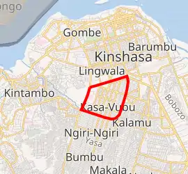
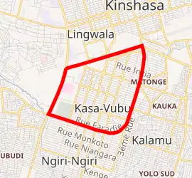
Kasa-Vubu is a municipality (commune) in the Funa district of Kinshasa, the capital city of the Democratic Republic of the Congo.[2]
Kasa-Vubu | |
|---|---|
| Commune de Kasa-Vubu | |


Kasa-Vubu on map of Kinshasa city-province | |
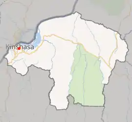
_-_Kinshasa.svg.png.webp) Kinshasa city-province on map of DR Congo | |
| Coordinates: 04°20′33″S 015°18′19″E[1] | |
| Country | |
| City-Province | Kinshasa |
| Area | |
| • Total | 5.05 km2 (1.95 sq mi) |
| Population (2004 est.) | |
| • Total | 157,320 |
| • Density | 31,000/km2 (81,000/sq mi) |
Along with Kalamu, it forms the historical African heart of Kinshasa. Formerly known as Dendale, the town's name derives from the first president of the Congo after independence, Joseph Kasa-Vubu, who was elected mayor of the commune in 1957.
Demographics
| Year | 1967 | 1970 | 1984 | 2003 | 2004 |
|---|---|---|---|---|---|
| Population | 56,540 | 67,525 | 74,888 | 152,141 | 157,320 |
References
- "Kasa Vubu, Kinshasa, Democratic Republic of the Congo". Google Maps. Retrieved 20 August 2011.
- "Géographie de Kinshasa (Geography of Kinshasa)" (in French). Ville de Kinshasa (City of Kinshasa). Archived from the original on 23 July 2012. Retrieved 20 August 2011.
This article is issued from Wikipedia. The text is licensed under Creative Commons - Attribution - Sharealike. Additional terms may apply for the media files.