Kentucky Route 124
Kentucky Route 124 (KY 124) is a 14.896-mile-long (23.973 km) state highway in Kentucky. It runs from KY 139 in northern Cadiz to KY 91 and Old Bainbridge Loop in rural Christian County southeast of Princeton via Cerulean.
| ||||
|---|---|---|---|---|
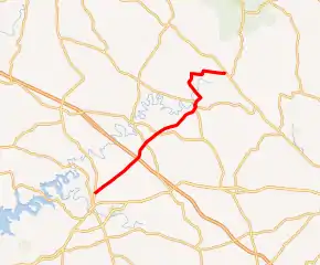
KY 124 highlighted in red | ||||
| Route information | ||||
| Maintained by KYTC | ||||
| Length | 14.896 mi[1] (23.973 km) | |||
| Major junctions | ||||
| South end | ||||
| North end | ||||
| Location | ||||
| Counties | Trigg, Christian | |||
| Highway system | ||||
| ||||

Major intersections
| County | Location | mi[1] | km | Destinations | Notes |
|---|---|---|---|---|---|
| Trigg | Cadiz | 0.000 | 0.000 | Southern terminus | |
| | 5.053 | 8.132 | |||
| | 6.170 | 9.930 | |||
| Cerulean | 9.266 | 14.912 | Southern end of KY 126 concurrency | ||
| 9.423 | 15.165 | Western terminus of KY 624 | |||
| 9.713 | 15.632 | Northern end of KY 126 concurrency | |||
| Christian | | 14.896 | 23.973 | Northern terminus; continues as Old Bainbridge Loop | |
1.000 mi = 1.609 km; 1.000 km = 0.621 mi
| |||||
References
- "Official DMI Route Log". Kentucky Transportation Cabinet. Retrieved January 8, 2015.
This article is issued from Wikipedia. The text is licensed under Creative Commons - Attribution - Sharealike. Additional terms may apply for the media files.