Khandela
Khandela is a town and municipality in the Sikar district of the Indian state of Rajasthan.
Khandela | |
|---|---|
Town | |
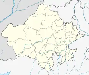 Khandela Location in Rajasthan, India  Khandela Khandela (India) | |
| Coordinates: 27.36°N 75.30°E | |
| Country | India |
| State | Rajasthan |
| District | Sikar |
| Elevation | 318 m (1,043 ft) |
| Population (2001) | |
| • Total | 29,044 |
| Languages | |
| • Official | Hindi |
| Time zone | UTC+5:30 (IST) |
| Vehicle registration | RJ-23 |
Etymology
The name Khandela is believed to have been originated from the sage named Khandel. He had 72 sons from whom 72 clans of Khandelwal originated. Some of those clans are Atolia, Tasid, Akar, Ameria, Mali, Rajoria, Haldia, Raot, Bushar, Pithalia, Vaid, Thekura and Bukhmaria.[1]
Geography
Khandela is at 27.36°N 75.30°E.[2] It has an average elevation of 318 metres (1043 feet).
Demographics
As of 2001 India census,[3] Khandela had a population of 22,475. Males constitute 51% of the population and females 49%.
Khandela has an average literacy rate of 57%, lower than the national average of 59.5%: male literacy is 69%, and female literacy is 45%. In Khandela, 18% of the population is under 6 years of age
See also
References
- Singh, K.S. (1998). People of India: Rajasthan. @People of India: State series. Popular Prakashan. p. 524. ISBN 978-81-7154-769-2. Retrieved 13 August 2019.
- Falling Rain Genomics, Inc - bikaner
- "Census of India 2001: Data from the 2001 Census, including cities, villages and towns (Provisional)". Census Commission of India. Archived from the original on 16 June 2004. Retrieved 1 November 2008.