Ramgarh, Sikar
Ramgarh or Ramgarh Shekhawati is a city and a municipality in Ramgarh tehsil of Sikar district in the Indian state of Rajasthan.
Ramgarh Shekhawati
Ramgarh Sethan | |
|---|---|
Town | |
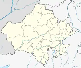 Ramgarh Shekhawati Location in Rajasthan, India  Ramgarh Shekhawati Ramgarh Shekhawati (India) | |
| Coordinates: 28°10′15″N 74°58′40″E | |
| Country | |
| State | Rajasthan |
| District | Sikar |
| Founded by | Poddar family |
| Elevation | 306 m (1,004 ft) |
| Population (2011) | |
| • Total | 33,024 |
| • Density | 2.74/km2 (7.1/sq mi) |
| Languages | |
| • Official | Hindi |
| Time zone | UTC+5:30 (IST) |
| ISO 3166 code | RJ-IN |
| Vehicle registration | RJ- |
Geography
Ramgarh Shekhawati town is located in Shekhawati region of Rajasthan. Area surrounding this town is semi-arid. Ramgarh Shekhawati is located very near trijunction of Churu district in north, Jhunjhunu district in East and Sikar district in south.[1] Churu city is at a distance of about 13 km from the town.
Demographics
As of 2001 India census,[2] Ramgarh had a population of 33024. Males constitute 51% of the population and females 49%. Ramgarh has an average literacy rate of 59%, lower than the national average of 59.5%: male literacy is 69%, and female literacy is 48%. In Ramgarh, 18% of the population is under 6 years of age.
Transport
Ramgarh is well connected by road and rail transport. National Highway 52 passes on western outskirt of town. Ramgarh Shekhawati railway station[3] is located on eastern part of the town.
References
- "Ramgarh Shekhawati town site". Retrieved 26 April 2018.
- "Census of India 2001: Data from the 2001 Census, including cities, villages and towns (Provisional)". Census Commission of India. Archived from the original on 16 June 2004. Retrieved 1 November 2008.
- "India Rail info". Retrieved 26 April 2018.