Kimsa Chata (Sabaya)
Kimsa Chata (Aymara and Quechua kimsa three, Pukina chata mountain,[2][3][4] "three mountains", Hispanicized spelling Quimsa Chata) is a 5,245-metre-high (17,208 ft) mountain in the Andes of Bolivia. It is located in the Oruro Department, Sabaya Province, Sabaya Municipality, Negrillos Canton. It lies south-east of the mountain Qillwiri, east of Lliscaya, north-east of Taypi Qullu and north-west of the Laram Pukara, near the border with Chile.[5]
| Kimsa Chata | |
|---|---|
 Kimsa Chata Location in Bolivia | |
| Highest point | |
| Elevation | 5,245 m (17,208 ft) [1] |
| Coordinates | 18°53′00″S 68°51′52″W |
| Geography | |
| Location | Bolivia, Oruro Department, Sabaya Province |
| Parent range | Andes |
References
- BIGM map 1:50,000 Cerro Capitan Hoja 5837-III
- Teofilo Laime Ajacopa, Diccionario Bilingüe Iskay simipi yuyayk'ancha, La Paz, 2007 (Quechua-Spanish dictionary)
- Radio San Gabriel, "Instituto Radiofonico de Promoción Aymara" (IRPA) 1993, Republicado por Instituto de las Lenguas y Literaturas Andinas-Amazónicas (ILLLA-A) 2011, Transcripción del Vocabulario de la Lengua Aymara, P. Ludovico Bertonio 1612 (Spanish-Aymara-Aymara-Spanish dictionary)
- Teofilo Laime Ajacopa, Lengua Pukina en Jesús de Machaca
- Sabaya Municipality: Archived 2014-08-13 at the Wayback Machine population data and map
Capital: Oruro | ||
| Provinces | 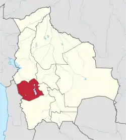 | |
| Municipalities (and seats) |
| |
This article is issued from Wikipedia. The text is licensed under Creative Commons - Attribution - Sharealike. Additional terms may apply for the media files.
