Kokrajhar
Kokrajhar (ˌkɒkrəˈʤɑ:) is a town in the Bodoland Territorial Region an autonomous territory in Assam, one of the North Eastern States of India.
Kokrajhar (Bodo: कोकराझार) | |
|---|---|
Town | |
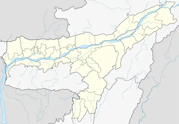
| Coordinates: 26.4°N 90.27°E | |
| Country | |
| State | |
| Territorial Region | |
| District | Kokrajhar |
| Divisions | 10 wards |
| Government | |
| • Type | Municipal Board |
| • Body | Kokrajhar Municipality Board |
| Elevation | 38 m (125 ft) |
| Population (2011) | |
| • Total | 34,136 |
| Languages | |
| • Official | Bodo, Assamese |
| Time zone | UTC+5:30 (IST) |
| PIN | 783370 |
| Telephone code | 03661 |
| Vehicle registration | AS-16 |
| Sex ratio | 52:50 ♂/♀ |
| Literacy | 89.96% |

Kokrajhar town is located along the bank of the river Gaurang. The North East Indian Railways divides the city into two divisions, north and the south Kokrajhar. Kokrajhar town is the headquarters of Kokrajhar district and the Bodoland Territorial Council (BTC).
Geography
Kokrajhar is located at 26.4°N 90.27°E.[1] It has an average elevation of 38 metres (124 feet).
Climate
| Climate data for Kokrajhar | |||||||||||||
|---|---|---|---|---|---|---|---|---|---|---|---|---|---|
| Month | Jan | Feb | Mar | Apr | May | Jun | Jul | Aug | Sep | Oct | Nov | Dec | Year |
| Record high °C (°F) | 30 (86) |
33 (91) |
38 (100) |
40 (104) |
38 (100) |
40 (104) |
37 (99) |
37 (99) |
37 (99) |
35 (95) |
32 (90) |
28 (82) |
40 (104) |
| Average high °C (°F) | 23 (73) |
25 (77) |
30 (86) |
31 (88) |
31 (88) |
31 (88) |
32 (90) |
32 (90) |
31 (88) |
30 (86) |
27 (81) |
24 (75) |
29 (84) |
| Average low °C (°F) | 10 (50) |
12 (54) |
15 (59) |
20 (68) |
22 (72) |
25 (77) |
25 (77) |
25 (77) |
24 (75) |
21 (70) |
16 (61) |
11 (52) |
19 (66) |
| Record low °C (°F) | −2 (28) |
−3 (27) |
4 (39) |
11 (52) |
16 (61) |
18 (64) |
20 (68) |
21 (70) |
20 (68) |
9 (48) |
0 (32) |
−1 (30) |
−3 (27) |
| Average precipitation mm (inches) | 11.4 (0.45) |
12.8 (0.50) |
57.7 (2.27) |
142.3 (5.60) |
248.0 (9.76) |
350.1 (13.78) |
353.6 (13.92) |
269.9 (10.63) |
166.2 (6.54) |
79.2 (3.12) |
19.4 (0.76) |
5.1 (0.20) |
1,717.7 (67.63) |
| Source: wunderground.com[2] | |||||||||||||
Demographics

As of 2001 India census,[3] Kokrajhar had a population of 31,152. Males constitute 52% of the population and females 48%. Kokrajhar has an average literacy rate of 79%, higher than the national average of 59.5%: male literacy is 84%, and female literacy is 74%. In Kokrajhar, 10% of the population is under 6 years of age. The district has 3 sub divisions Kokrajhar, Gossaigaon and Basugaon.
Transportation
Kokrajhar is served by the Assam State Transport Corporation.
The Kokrajhar railway station lies on the New Jalpaiguri–New Bongaigaon section of Barauni–Guwahati line under the Northeast Frontier Railway with services to important cities of the country like Guwahati, Kolkata, New Delhi, Mumbai, Chennai etc.
Important trains like Rajdhani Express, Kamrup Express, Brahmaputra Mail, North East Express, Vivek Express, Garib Rath Express Avadh Assam Express
etc. have their stoppage at Kokrajhar railway station.
Recreation
Parks
- Gaurang Park
- Bodofa Children Park
Education
The town has many schools and colleges with English being the sole medium of instruction in higher education. All the colleges under the jurisdiction of Bodoland Territorial Council is affiliated under Bodoland University since 2017.
Secondary Schools
- Don Bosco School, Kokrajhar
- U. N. Academy, Kokrajhar
- Auxilium English Medium School
- B. P. C. M. Babyland English Medium High School, Kokrajhar
- Kokrajhar Government Higher Secondary & Multipurpose School
- Kokrajhar Girls School
- Little Flower English Medium High School
- MCM Woodland School
- Shangrila School
- Sister Margaret Nobel School
- D N Himatsingka High School
- Jawahar Navodaya Vidyalaya, Kokrajhar
- The Reality Public School, Kokrajhar
- Kendriya Vidyalaya Kokrajhar
- Sankerdev Sishu Vidya Niketan, Kokrajhar
Universities and Colleges
- Bodoland University, Kokrajhar
- Kokrajhar Government College
- Commerce College, Kokrajhar
- Girls' College, Kokrajhar
- Science College, Kokrajhar
- Law college, Kokrajhar
- St. Ann's College
- Aronai College
- RSB College
- Kokrajhar B. Ed college
- Kokrajhar Music and Fine Arts College
- Bineswar Brahma Engineering College, Kokrajhar
- Central Institute of Technology, Kokrajhar
- NIELIT, Kokrajhar
- DIET, Kokrajhar
Politics
Kokrajhar consists of three assembly constituencies: Kokrajhar East, Kokrajhar West and Gossaigaon, which all are part of Kokrajhar (Lok Sabha constituency).[4]
Sports
Football is the most popular sport in the town. The town has many Football clubs of which Baarhoongkha AC is the most widely known as they participate in the state level Assam State Premier League. The town has also produced many national level athletes. Other sports followed in the town are Badminton, Basketball, Volleyball, Taekwondo, Kabaddi, Chess, Archery, Cricket and other indigenous sports.
Notable personalities
- Halicharan Narzary, national footballer
- Hagrama Mohilary, ex chief of BTC and chairperson of Bodoland People's Front
- Durga Boro, footballer
- Bineshwar Brahma, politician, poet, teacher
See also
References
- Falling Rain Genomics, Inc - Kokrajhar
- "Historical Weather for Delhi, India". Weather Underground. Retrieved 27 November 2008.
- "Census of India 2001: Data from the 2001 Census, including cities, villages and towns (Provisional)". Census Commission of India. Archived from the original on 16 June 2004. Retrieved 1 November 2008.
- "List of Parliamentary & Assembly Constituencies" (PDF). Assam. Election Commission of India. Archived from the original (PDF) on 4 May 2006. Retrieved 5 October 2008.
